File:TrK70-Bergheim A2.jpg

Size of this preview: 800 × 548 pixels. Other resolutions: 320 × 219 pixels | 640 × 438 pixels | 1,024 × 701 pixels | 1,280 × 877 pixels | 2,560 × 1,753 pixels | 4,494 × 3,078 pixels.
Original file (4,494 × 3,078 pixels, file size: 8.36 MB, MIME type: image/jpeg)
Captions
Captions
Add a one-line explanation of what this file represents
Summary
edit
| Description |
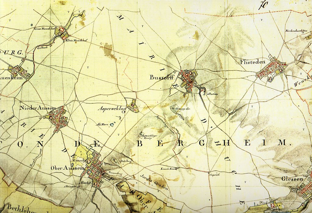
Kartenaufnahme der Rheinlande durch Tranchot und von Müffling 1803-1820Blatt 70 - Bergheim; hier Detail oben rechts |
||||
| Date | |||||
| Source | s.o. | ||||
| Author |
Ing.-Geograph Boucher |
||||
| Permission (Reusing this file) |
|
||||
Zu den weitere Kartenausschnitten:
| TrK70-Bergheim_A1.jpg / C2.jpg | |
|---|---|
A1 (oben links) |
A2 (oben rechts) |
B1 (mitte links) |
B2 (mitte rechts) |
C1 (unten links) |
C2 (unten rechts) |
File history
Click on a date/time to view the file as it appeared at that time.
| Date/Time | Thumbnail | Dimensions | User | Comment | |
|---|---|---|---|---|---|
| current | 01:18, 30 January 2013 | | 4,494 × 3,078 (8.36 MB) | Slick-o-bot (talk | contribs) | Bot: convert to a non-interlaced jpeg (see bug #17645) |
| 08:25, 13 June 2010 |  | 4,494 × 3,078 (7.75 MB) | Kartenfreak (talk | contribs) | == Summary == {{Information |Description=Kartenaufnahme der Rheinlande durch Tranchot und von Müffling 1803-1820<br>'''Blatt 70 - Bergheim; hier Detail oben rechts''' |Source=s.o. |Date=1807-08 |Author=Ing.-Geograph Boucher<br /> ''(Scan & Repro)'' [[Use |
You cannot overwrite this file.
File usage on Commons
There are no pages that use this file.