File:Track to Baddesley Ensor from Waste Lane - geograph.org.uk - 112151.jpg
Size of this preview: 450 × 600 pixels. Other resolutions: 180 × 240 pixels | 480 × 640 pixels.
Original file (480 × 640 pixels, file size: 169 KB, MIME type: image/jpeg)
Captions
Captions
Add a one-line explanation of what this file represents
Summary
edit
| Description |
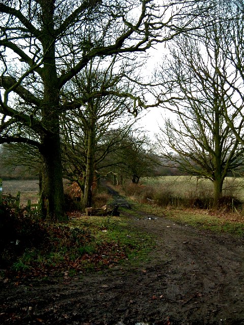
English: Track to Baddesley Ensor from Waste Lane. Waste Lane itself degenerates into a muddy track here as it descends to Grendon, whilst this smaller pathway runs off into Grendon Woods before eventually reaching Baddesley Ensor. According to some local maps another lane strikes off left from it after a few hundred yards and meets up with Folly Lane, but I did not investigate. |
| Date | |
| Source | From geograph.org.uk |
| Author | Rob Farrow |
| Attribution (required by the license) | Rob Farrow / Track to Baddesley Ensor from Waste Lane / |
| Camera location | | View this and other nearby images on: OpenStreetMap |
|---|
_heading:247.00&language=en)
| Object location | | View this and other nearby images on: OpenStreetMap |
|---|
_heading:247.00&language=en)
Licensing
edit

|
This image was taken from the Geograph project collection. See this photograph's page on the Geograph website for the photographer's contact details. The copyright on this image is owned by Rob Farrow and is licensed for reuse under the Creative Commons Attribution-ShareAlike 2.0 license.
|
This file is licensed under the Creative Commons Attribution-Share Alike 2.0 Generic license.
Attribution: Rob Farrow
- You are free:
- to share – to copy, distribute and transmit the work
- to remix – to adapt the work
- Under the following conditions:
- attribution – You must give appropriate credit, provide a link to the license, and indicate if changes were made. You may do so in any reasonable manner, but not in any way that suggests the licensor endorses you or your use.
- share alike – If you remix, transform, or build upon the material, you must distribute your contributions under the same or compatible license as the original.
- Remove redundant categories and try to put this image in the most specific category/categories
- Remove this template
- The location categories are based on information from this geonames tool and this OpenStreetMap tool combined with a database. You can also have a look at this tool from mysociety.
- The topic category from Geograph was Track (find similar images at Geograph)
File history
Click on a date/time to view the file as it appeared at that time.
| Date/Time | Thumbnail | Dimensions | User | Comment | |
|---|---|---|---|---|---|
| current | 13:05, 31 January 2010 | | 480 × 640 (169 KB) | GeographBot (talk | contribs) | == {{int:filedesc}} == {{Information |description={{en|1=Track to Baddesley Ensor from Waste Lane. Waste Lane itself degenerates into a muddy track here as it descends to Grendon, whilst this smaller pathway runs off into Grendon Woods before eventually r |
You cannot overwrite this file.
File usage on Commons
There are no pages that use this file.