File:Trails - Rainbow Rim Trail 2013 (44400542584).jpg
Size of this preview: 800 × 600 pixels. Other resolutions: 320 × 240 pixels | 640 × 480 pixels | 1,024 × 768 pixels | 1,280 × 960 pixels | 2,560 × 1,920 pixels.
Original file (2,560 × 1,920 pixels, file size: 4.07 MB, MIME type: image/jpeg)
Captions
Captions
Add a one-line explanation of what this file represents
Summary
edit.jpg&action=edit§ion=1)
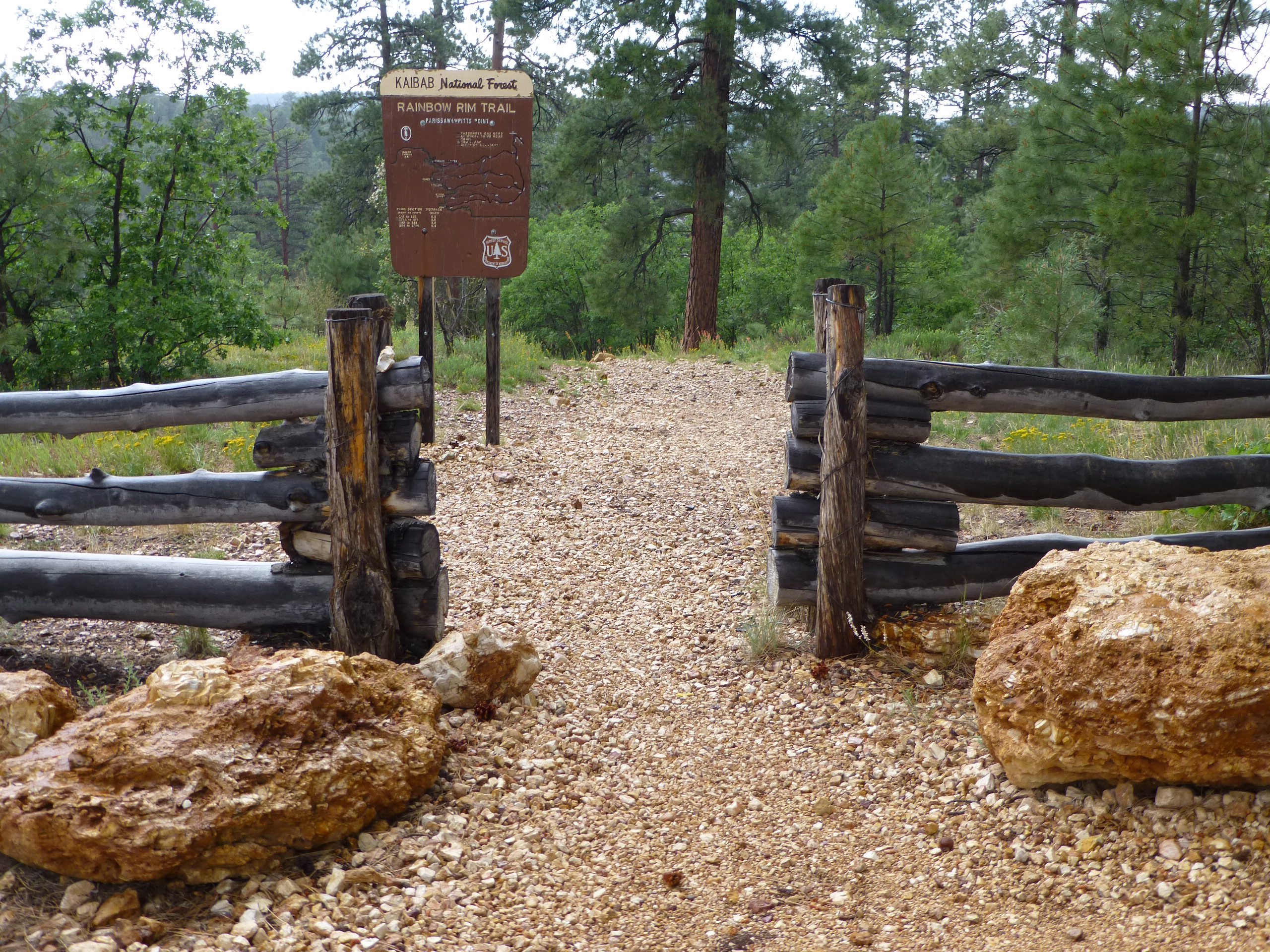
| Description | Wooden fence with signage at Rainbow Rim trailhead, Parissawampitts Point. North Kaibab Ranger District. 7-18-13. P1040072. Photo by Dyan Bone. Credit the U.S. Forest Service, Southwestern Region, Kaibab National Forest. |
| Date | |
| Source | Trails - Rainbow Rim Trail 2013 |
| Author | Kaibab National Forest |
Licensing
edit.jpg&action=edit§ion=2)
This file is licensed under the Creative Commons Attribution-Share Alike 2.0 Generic license.
- You are free:
- to share – to copy, distribute and transmit the work
- to remix – to adapt the work
- Under the following conditions:
- attribution – You must give appropriate credit, provide a link to the license, and indicate if changes were made. You may do so in any reasonable manner, but not in any way that suggests the licensor endorses you or your use.
- share alike – If you remix, transform, or build upon the material, you must distribute your contributions under the same or compatible license as the original.
| This image was originally posted to Flickr by Kaibab National Forest at https://flickr.com/photos/48448783@N06/44400542584 (archive). It was reviewed on 3 December 2018 by FlickreviewR 2 and was confirmed to be licensed under the terms of the cc-by-sa-2.0. |
File history
Click on a date/time to view the file as it appeared at that time.
| Date/Time | Thumbnail | Dimensions | User | Comment | |
|---|---|---|---|---|---|
| current | 15:02, 3 December 2018 | | 2,560 × 1,920 (4.07 MB) | StellarD (talk | contribs) | Transferred from Flickr via #flickr2commons |
You cannot overwrite this file.
File usage on Commons
There are no pages that use this file.
.jpg&oldid=555847609)