File:Transformer supplying the hamlet of West Harling - geograph.org.uk - 1709190.jpg
No higher resolution available.
Transformer_supplying_the_hamlet_of_West_Harling_-_geograph.org.uk_-_1709190.jpg (640 × 480 pixels, file size: 114 KB, MIME type: image/jpeg)
Captions
Captions
Add a one-line explanation of what this file represents
Summary
edit
| Description |
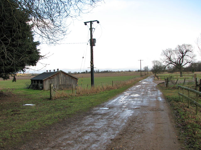
English: Transformer supplying the hamlet of West Harling. West Harling, a village in the Thet valley, was deserted in the first half of the 18th century. Originally part of a cluster of settlements which all had the name 'Herlinga' in 1086, three of these had become known as West Harling (with its church of All Saints'), Middle Harling (with St Andrew's church) and Harling Thorpe. Middle Harling became part of West Harling parish in 1543. With a new Lord of the Manor, Richard Gipps, the fate of the until then fairly prosperous villages changed: Gipps bought all the houses except for one small cottage and so had reduced the number of dwellings. Gipps' heirs closed the old road, and the foundations of the demolished church in Middle Harling were uprooted to build up a marshy ground. All Saints church today stands isolated > 1709324. The Hall built by Gipps was demolished in 1931 and conifer plantations cover much of his estate. What remains is a bust in the church > 1709354 placed there by his great-nephew. |
| Date | |
| Source | From geograph.org.uk |
| Author | Evelyn Simak |
| Attribution (required by the license) | Evelyn Simak / Transformer supplying the hamlet of West Harling / |
| Camera location | | View this and other nearby images on: OpenStreetMap |
|---|
_heading:112.00&language=en)
| Object location | | View this and other nearby images on: OpenStreetMap |
|---|
_heading:112.00&language=en)
Licensing
edit

|
This image was taken from the Geograph project collection. See this photograph's page on the Geograph website for the photographer's contact details. The copyright on this image is owned by Evelyn Simak and is licensed for reuse under the Creative Commons Attribution-ShareAlike 2.0 license.
|
This file is licensed under the Creative Commons Attribution-Share Alike 2.0 Generic license.
Attribution: Evelyn Simak
- You are free:
- to share – to copy, distribute and transmit the work
- to remix – to adapt the work
- Under the following conditions:
- attribution – You must give appropriate credit, provide a link to the license, and indicate if changes were made. You may do so in any reasonable manner, but not in any way that suggests the licensor endorses you or your use.
- share alike – If you remix, transform, or build upon the material, you must distribute your contributions under the same or compatible license as the original.
File history
Click on a date/time to view the file as it appeared at that time.
| Date/Time | Thumbnail | Dimensions | User | Comment | |
|---|---|---|---|---|---|
| current | 06:31, 5 March 2011 | | 640 × 480 (114 KB) | GeographBot (talk | contribs) | == {{int:filedesc}} == {{Information |description={{en|1=Transformer supplying the hamlet of West Harling West Harling, a village in the Thet valley, was deserted in the first half of the 18th century. Originally part of a cluster of settlements which al |
You cannot overwrite this file.
File usage on Commons
There are no pages that use this file.