File:Tree silhouette Wilzenberg.JPG
Size of this preview: 400 × 600 pixels. Other resolutions: 160 × 240 pixels | 320 × 480 pixels | 512 × 768 pixels | 682 × 1,024 pixels | 1,365 × 2,048 pixels | 2,608 × 3,912 pixels.
Original file (2,608 × 3,912 pixels, file size: 6.83 MB, MIME type: image/jpeg)
Captions
Captions
Add a one-line explanation of what this file represents
Summary
edit
| Description |
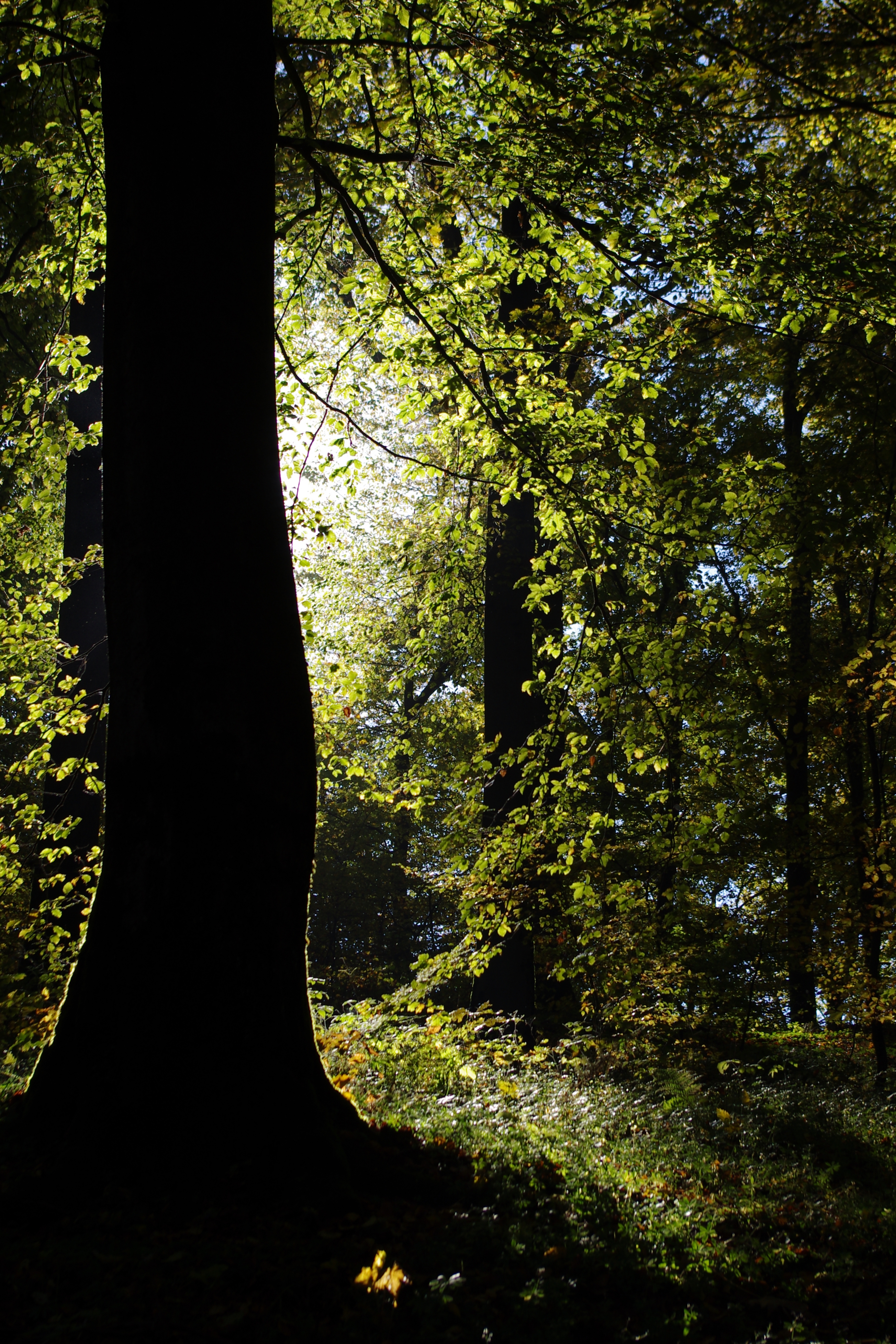
English: Silhouette of a beech (Fagus sylvatica) at "Wilzenberg" nature reserve, located right next to station No. IV of the Way of the Cross Running around the peak of the Wilzenberg near Schmallenberg, Germany.
Deutsch: Silhouette einer Buche (Fagus sylvatica) im Naturschutzgebiet „Wilzenberg“. Standort gleich neben Station IV des Kreuzweges, der um den Gipfel der Wilzenberges bei Schmallenberg führt. |
| Date | Taken on 19 October 2013 |
| Source | Own work |
| Author | El Grafo |
| Camera location | | View this and other nearby images on: OpenStreetMap |
|---|
Licensing
edit
El Grafo, the copyright holder of this work, hereby publishes it under the following license:
This file is licensed under the Creative Commons Attribution-Share Alike 3.0 Unported license.
Attribution: © El Grafo / CC-BY-SA-3.0
- You are free:
- to share – to copy, distribute and transmit the work
- to remix – to adapt the work
- Under the following conditions:
- attribution – You must give appropriate credit, provide a link to the license, and indicate if changes were made. You may do so in any reasonable manner, but not in any way that suggests the licensor endorses you or your use.
- share alike – If you remix, transform, or build upon the material, you must distribute your contributions under the same or compatible license as the original.
File history
Click on a date/time to view the file as it appeared at that time.
| Date/Time | Thumbnail | Dimensions | User | Comment | |
|---|---|---|---|---|---|
| current | 21:01, 17 December 2013 | | 2,608 × 3,912 (6.83 MB) | El Grafo (talk | contribs) | Upload via KIPI uploader |
You cannot overwrite this file.
File usage on Commons
The following 3 pages use this file: