File:Troy, Virginia USGS 1994.jpg

Size of this preview: 750 × 600 pixels. Other resolutions: 300 × 240 pixels | 600 × 480 pixels | 1,000 × 800 pixels.
Original file (1,000 × 800 pixels, file size: 184 KB, MIME type: image/jpeg)
Captions
Captions
Add a one-line explanation of what this file represents
Summary edit
| Description |
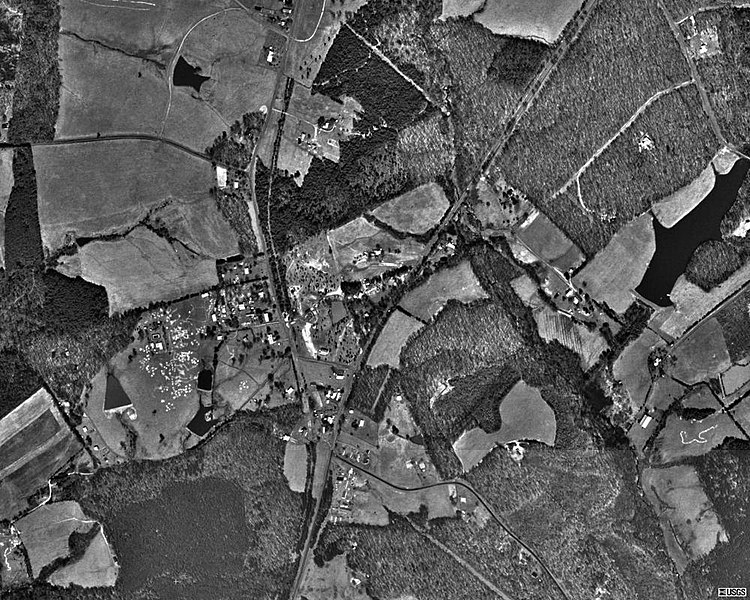
English: Aerial photo of the unincorporated town of Troy, Virginia (U.S. Census class code U6) in 1994. The diagonal NE/SW road bisecting the image is U.S. Route 15. |
| Date | |
| Source | Microsoft Research Maps |
| Author | The National Map, United States Geological Survey |
Licensing edit
This image is in the public domain in the United States because it only contains materials that originally came from the United States Geological Survey, an agency of the United States Department of the Interior. For more information, see the official USGS copyright policy.
|
File history
Click on a date/time to view the file as it appeared at that time.
| Date/Time | Thumbnail | Dimensions | User | Comment | |
|---|---|---|---|---|---|
| current | 22:33, 30 November 2010 | | 1,000 × 800 (184 KB) | KimChee (talk | contribs) | {{Information |Description={{en|1=Aerial photo of the unincorporated town of {{w|Troy, Virginia}} ({{w|United States Census|U.S. Census}} class code U6) in 1994. The diagonal NE/SW road bisecting the image is {{w|U.S. Route 15 in Virginia|U.S. Route 15}}. |
You cannot overwrite this file.
File usage on Commons
The following page uses this file:
File usage on other wikis
The following other wikis use this file:
- Usage on azb.wikipedia.org
- Usage on en.wikipedia.org
- Usage on fa.wikipedia.org
- Usage on ur.wikipedia.org
- Usage on www.wikidata.org