File:Trzyciąż (gmina) location map.png

Original file (2,487 × 1,582 pixels, file size: 495 KB, MIME type: image/png)
Captions
Captions
Summary
edit_location_map.png&action=edit§ion=1)
| Description |
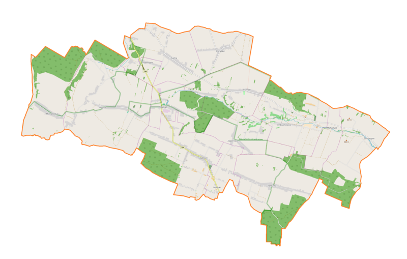
English: Location map |
| Date | |
| Source | Own work |
| Author | Smat |
| Description |
Polski: Mapa gminy Trzyciąż, Polska
English: Map of Trzyciąż (gmina), Poland |
|||||||||
| Date | ||||||||||
| Source | You may find a page on the OpenStreetMap wiki page for Trzyciąż (gmina) | |||||||||
| Creator |
OpenStreetMap contributors OpenStreetMap contributors |
|||||||||
| Permission (Reusing this file) |
OpenStreetMap data is available under the Open Database License (details). Map tiles are licensed under the Creative Commons Attribution-ShareAlike 2.0 license (CC-BY-SA 2.0).
This file is licensed under the Creative Commons Attribution-Share Alike 2.0 Generic license.
|
|||||||||
| Geotemporal data | ||||||||||
| Bounding box |
|
|||||||||
| Georeferencing | If inappropriate please set warp_status = skip to hide. | |||||||||
Licensing
edit_location_map.png&action=edit§ion=2)
| This work contains information from OpenStreetMap, which is made available under the Open Database License (ODbL).
The ODbL does not require any particular license for maps produced from ODbL data. Prior to 1 August 2020, map tiles produced by the OpenStreetMap Foundation were licensed under the CC-BY-SA-2.0 license. Maps produced by other people may be subject to other licences. |
File history
Click on a date/time to view the file as it appeared at that time.
| Date/Time | Thumbnail | Dimensions | User | Comment | |
|---|---|---|---|---|---|
| current | 17:40, 25 April 2018 | | 2,487 × 1,582 (495 KB) | Smat (talk | contribs) | User created page with UploadWizard |
You cannot overwrite this file.
File usage on Commons
There are no pages that use this file.
File usage on other wikis
The following other wikis use this file:
- Usage on pl.wikipedia.org
- Glanów
- Jangrot
- Małyszyce
- Milonki
- Ściborzyce
- Trzyciąż
- Zadroże (województwo małopolskie)
- Zagórowa
- Imbramowice (województwo małopolskie)
- Michałówka (województwo małopolskie)
- Sucha (województwo małopolskie)
- Tarnawa (powiat olkuski)
- Podchybie (powiat olkuski)
- Porąbka (powiat olkuski)
- Klasztor Norbertanek w Imbramowicach
- Rezerwat przyrody Michałowiec
- Parafia św. Jana Chrzciciela w Jangrocie
- Dwór w Glanowie
- Michałowiec
- Wikipedysta:Januszk57/brudnopis
- Moduł:Mapa/dane/Trzyciąż (gmina)
- Schronisko Pierwsze
- Tunel z Progami
- Schronisko Pionowe w Ostryszni
- Jaskinia w Ostryszni
- Parafia św. Benedykta Opata w Imbramowicach
- Parafia św. Marcina w Zadrożu
- Źródło Hydrografów
- Kościół św. Jana Chrzciciela w Jangrocie
- Kościół św. Benedykta Opata w Imbramowicach
- Stary cmentarz parafialny w Imbramowicach
- Usage on pl.wikibooks.org
_location_map.png&oldid=706041918)