File:Tunnel Markusbierg Südportal.jpg
Size of this preview: 800 × 533 pixels. Other resolutions: 320 × 213 pixels | 640 × 427 pixels | 1,024 × 683 pixels | 1,280 × 853 pixels | 2,910 × 1,940 pixels.
Original file (2,910 × 1,940 pixels, file size: 2.08 MB, MIME type: image/jpeg)
Captions
Captions
Add a one-line explanation of what this file represents
Summary
edit
| Description |
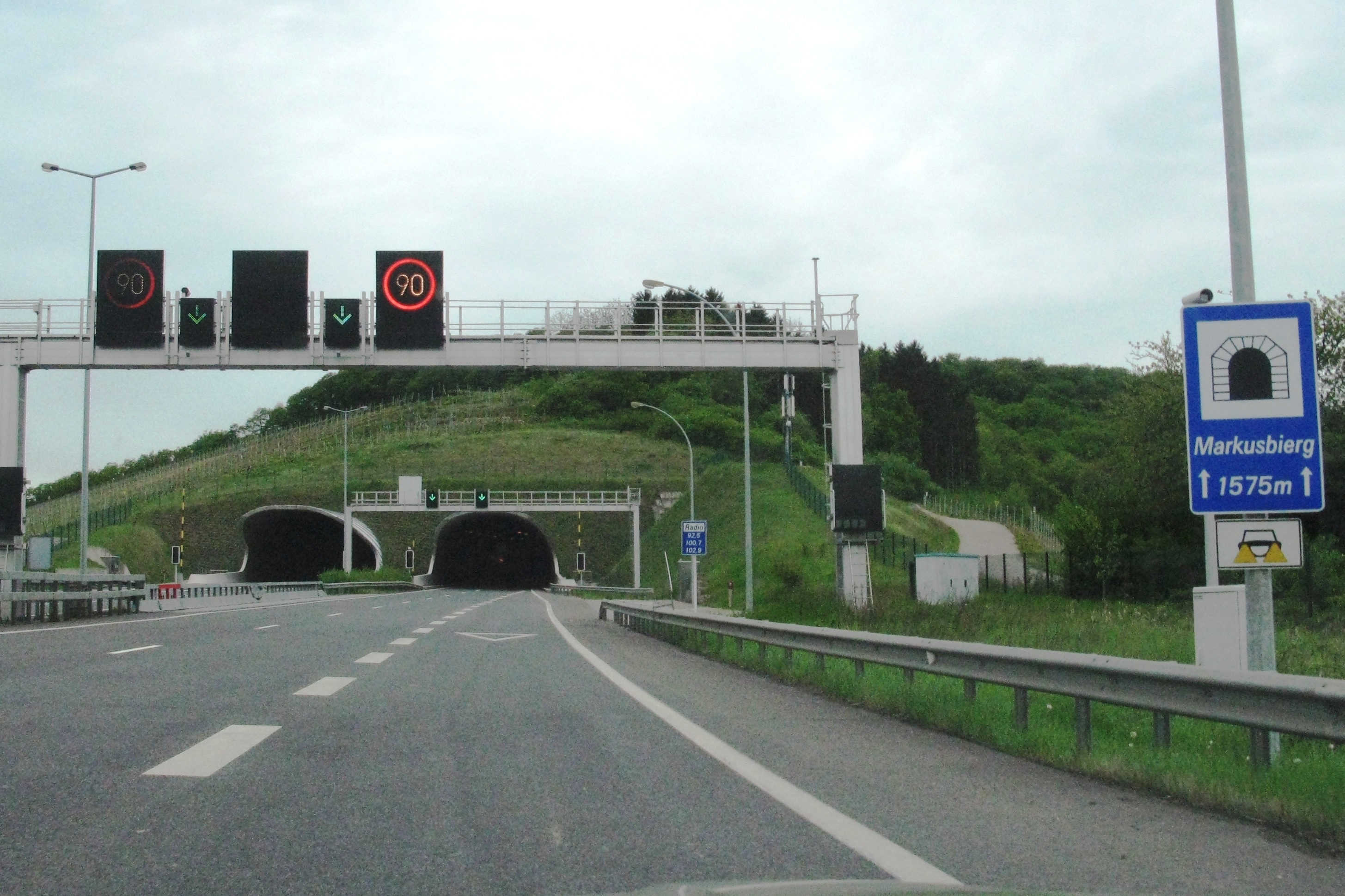
Lëtzebuergesch: Tunnel Markusbierg Südportal.
Markusbierg |
| Date | 30 July 2009 (original upload date) |
| Source |
Own work |
| Author | Les Meloures at lb.wikipedia |
49°28′39″N 06°21′36″E / 49.4775°N 6.36°E
Licensing
edit
Les Meloures at lb.wikipedia, the copyright holder of this work, hereby publishes it under the following license:
This file is licensed under the Creative Commons Attribution-Share Alike 3.0 Luxembourg license.
Attribution: Les Meloures at lb.wikipedia
- You are free:
- to share – to copy, distribute and transmit the work
- to remix – to adapt the work
- Under the following conditions:
- attribution – You must give appropriate credit, provide a link to the license, and indicate if changes were made. You may do so in any reasonable manner, but not in any way that suggests the licensor endorses you or your use.
- share alike – If you remix, transform, or build upon the material, you must distribute your contributions under the same or compatible license as the original.

Original upload log
edit
The original description page was here. All following user names refer to lb.wikipedia.
- 2009-07-30 07:43 Les Meloures 2910×1940× (2184817 bytes) Tunnel Markusbierg Südportal. Quell: eege Foto Les Meloures. Koordinaten: {{Coor dms1|49|28|39|N|06|21|36|O}} [[Kategorie:Stroossentunnellen zu Lëtzebuerg|Markusbierg]]
File history
Click on a date/time to view the file as it appeared at that time.
| Date/Time | Thumbnail | Dimensions | User | Comment | |
|---|---|---|---|---|---|
| current | 17:24, 12 April 2011 | | 2,910 × 1,940 (2.08 MB) | MGA73bot2 (talk | contribs) | {{BotMoveToCommons|lb.wikipedia|year={{subst:CURRENTYEAR}}|month={{subst:CURRENTMONTHNAME}}|day={{subst:CURRENTDAY}}}} {{Information |Description={{lb|Tunnel Markusbierg Südportal. Quell: eege Foto Les Meloures. Koordinaten: [[:lb:Kategorie:Strooss |
You cannot overwrite this file.
File usage on Commons
There are no pages that use this file.
File usage on other wikis
The following other wikis use this file:
- Usage on ca.wikipedia.org
- Usage on de.wikipedia.org
- Usage on en.wikipedia.org
- Usage on es.wikipedia.org
- Usage on lb.wikipedia.org
- Usage on nl.wikipedia.org
- Usage on www.wikidata.org