File:Turkey mountains.png
Size of this preview: 800 × 389 pixels. Other resolutions: 320 × 156 pixels | 640 × 311 pixels | 1,332 × 648 pixels.
Original file (1,332 × 648 pixels, file size: 1.81 MB, MIME type: image/png)
Captions
Captions
Add a one-line explanation of what this file represents
Summary edit
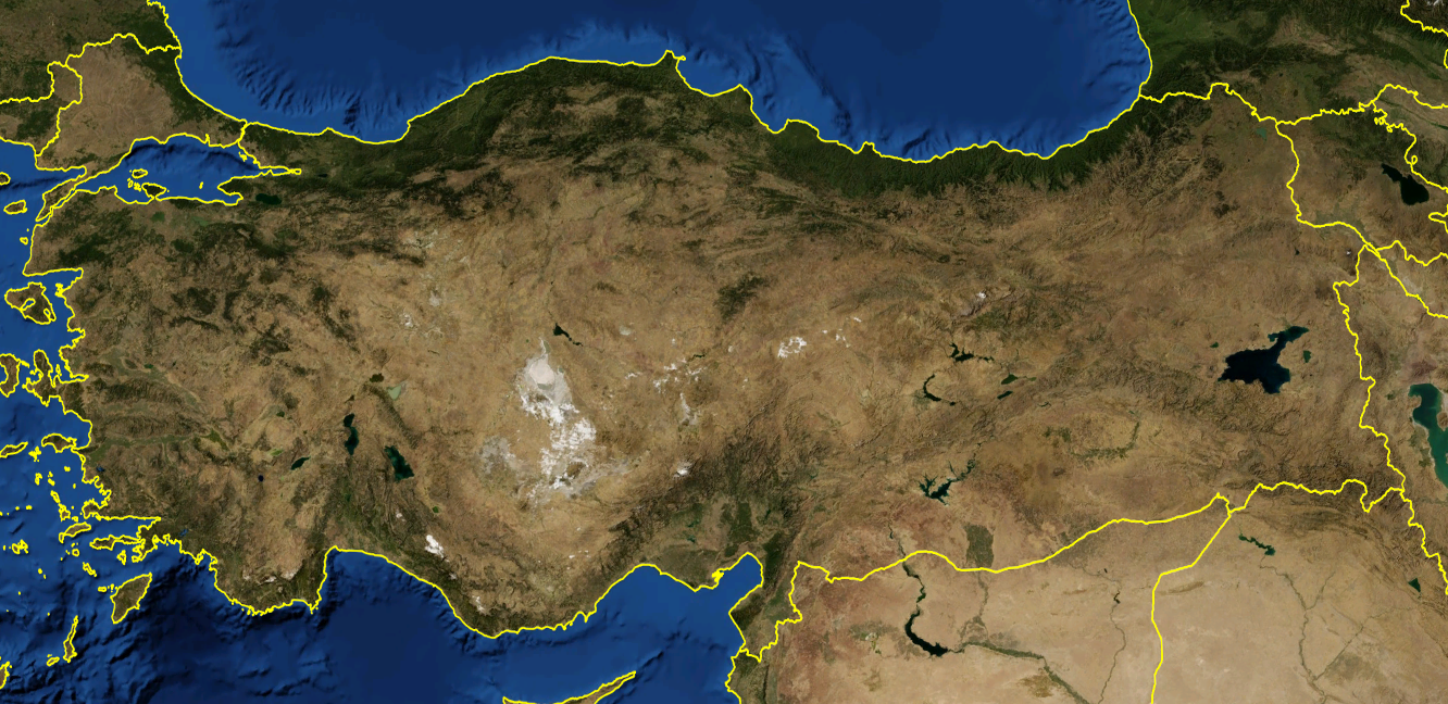
Physical map of Turkey. Useful to indicate the location of the ranges (see Image:Turkey aladag.PNG for example).
Caption from NASA World Wind
Licensing edit
| This image is in the public domain because it is a screenshot from NASA’s globe software World Wind using a public domain layer, such as Blue Marble, MODIS, Landsat, SRTM, USGS or GLOBE.
|
 |
File history
Click on a date/time to view the file as it appeared at that time.
| Date/Time | Thumbnail | Dimensions | User | Comment | |
|---|---|---|---|---|---|
| current | 15:10, 25 September 2007 | | 1,332 × 648 (1.81 MB) | Bicounet~commonswiki (talk | contribs) | Physical map of Turkey. Useful to indicate the location of the ranges (see Turkey_aladag.NPG for example). Caption from NASA World Wind |
You cannot overwrite this file.
File usage on Commons
There are no pages that use this file.