File:Tyrone Brit Isles Sect 7.svg

Size of this PNG preview of this SVG file: 491 × 599 pixels. Other resolutions: 197 × 240 pixels | 393 × 480 pixels | 630 × 768 pixels | 840 × 1,024 pixels | 1,679 × 2,048 pixels | 583 × 711 pixels.
Original file (SVG file, nominally 583 × 711 pixels, file size: 1,004 KB)
Captions
Captions
Add a one-line explanation of what this file represents
Summary
edit
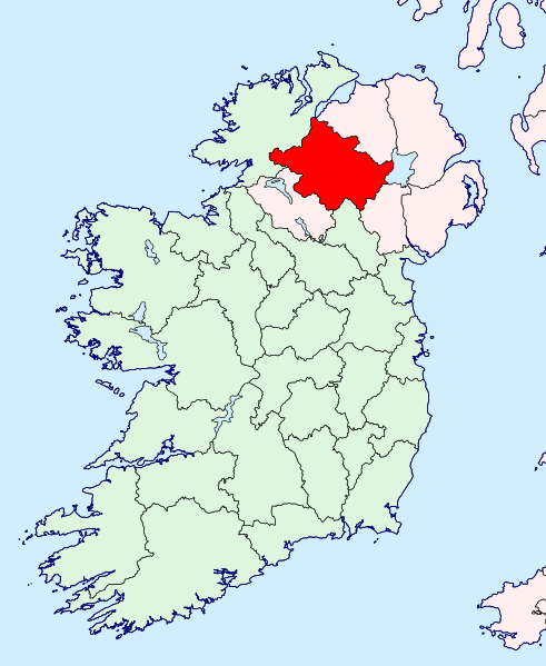
| Description | County Tyrone location map | ||
| Date | |||
| Source | British Isles in counties.svg | ||
| Author | |||
| Permission (Reusing this file) |
|
File history
Click on a date/time to view the file as it appeared at that time.
| Date/Time | Thumbnail | Dimensions | User | Comment | |
|---|---|---|---|---|---|
| current | 22:03, 12 September 2019 | | 583 × 711 (1,004 KB) | Hogweard (talk | contribs) | {{Information |Description=County Tyrone location map |Source=British Isles in counties.svg |Date=2019-09-12 |Author=*{{u|Visitor from Wikishire}} *{{u|Hogweard}} |Permission={{PD-self}} |other_versions= }} Tyrone Tyrone Category:Locator maps of County Tyrone |
You cannot overwrite this file.
File usage on Commons
The following page uses this file:
File usage on other wikis
The following other wikis use this file:
- Usage on nl.wikipedia.org