File:UF-XS Research Flying-boat , UF-XS 実験用飛行艇 - Panoramio 112104730.jpg
Size of this preview: 800 × 395 pixels. Other resolutions: 320 × 158 pixels | 640 × 316 pixels | 1,024 × 505 pixels | 1,280 × 632 pixels | 3,242 × 1,600 pixels.
Original file (3,242 × 1,600 pixels, file size: 682 KB, MIME type: image/jpeg)
Captions
Captions
Add a one-line explanation of what this file represents
Summary
edit
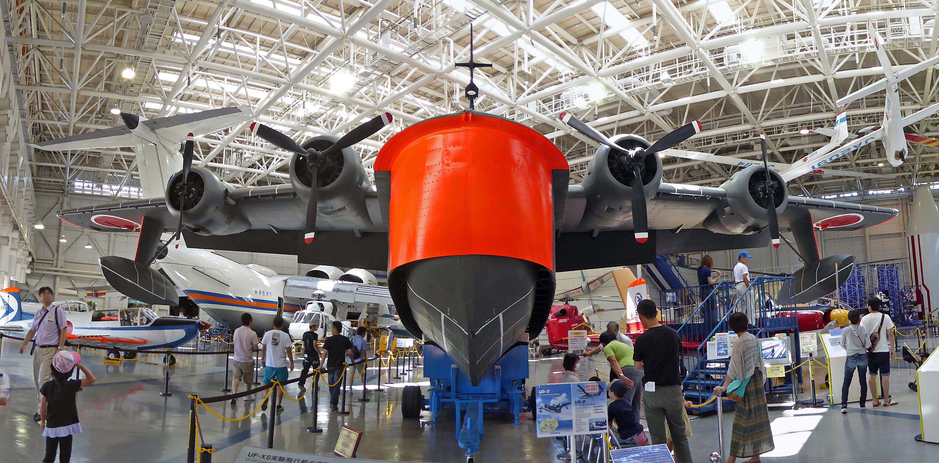
| Description | UF-XS Research Flying-boat , UF-XS 実験用飛行艇 |
| Date |
Taken on 14 September 2014 Upload date: 24 September 2014 |
| Source | https://www.panoramio.com/photo/112104730 |
| Author | z tanuki |
| Camera location | | View this and other nearby images on: OpenStreetMap |
|---|
Licensing
edit
This file is licensed under the Creative Commons Attribution 3.0 Unported license.
Attribution: z tanuki
- You are free:
- to share – to copy, distribute and transmit the work
- to remix – to adapt the work
- Under the following conditions:
- attribution – You must give appropriate credit, provide a link to the license, and indicate if changes were made. You may do so in any reasonable manner, but not in any way that suggests the licensor endorses you or your use.
| This image was originally posted to Panoramio by z tanuki at https://www.panoramio.com/photo/112104730. It was reviewed on 4 November 2016 by the Panoramio Review Bot robot and was confirmed to be licensed under the terms of the cc-by-3.0. |
File history
Click on a date/time to view the file as it appeared at that time.
| Date/Time | Thumbnail | Dimensions | User | Comment | |
|---|---|---|---|---|---|
| current | 08:35, 4 November 2016 | | 3,242 × 1,600 (682 KB) | 円周率3パーセント (talk | contribs) | =={{int:filedesc}}== {{Information |description=UF-XS Research Flying-boat , UF-XS 実験用飛行艇 |date={{Taken on|2014-09-14}}<br>{{uploaded on|2014-9-24}} |source=http://www.panoramio.com/photo/112104730 |author=[http://www.panoramio.com/user/238... |
You cannot overwrite this file.
File usage on Commons
There are no pages that use this file.