File:US50LookingWestRomneyWV.jpg
Size of this preview: 800 × 555 pixels. Other resolutions: 320 × 222 pixels | 640 × 444 pixels | 1,024 × 710 pixels.
Original file (1,024 × 710 pixels, file size: 139 KB, MIME type: image/jpeg)
Captions
Captions
Add a one-line explanation of what this file represents
Summary
edit
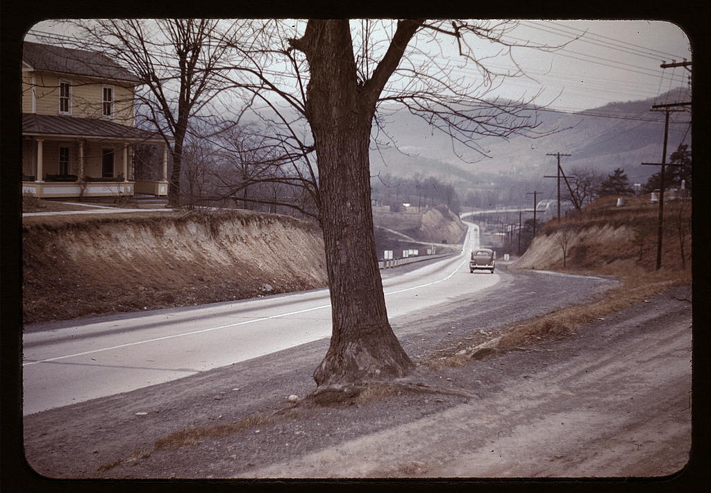
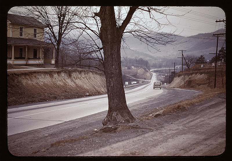
US 50 (Northwestern Turnpike) leading west out of Romney, West Virginia toward the South Branch Potomac River. This image is part of the Farm Security Administration - Office of War Information Collection in the Library of Congress Prints and Photographs Division. It was taken in 1942.
Licensing
edit
This work is in the public domain in the United States because it is a work prepared by an officer or employee of the United States Government as part of that person’s official duties under the terms of Title 17, Chapter 1, Section 105 of the US Code.
Note: This only applies to original works of the Federal Government and not to the work of any individual U.S. state, territory, commonwealth, county, municipality, or any other subdivision. This template also does not apply to postage stamp designs published by the United States Postal Service since 1978. (See § 313.6(C)(1) of Compendium of U.S. Copyright Office Practices). It also does not apply to certain US coins; see The US Mint Terms of Use.
|
 | |
| This file has been identified as being free of known restrictions under copyright law, including all related and neighboring rights. | ||
File history
Click on a date/time to view the file as it appeared at that time.
| Date/Time | Thumbnail | Dimensions | User | Comment | |
|---|---|---|---|---|---|
| current | 23:52, 16 December 2005 | | 1,024 × 710 (139 KB) | West Virginian (talk | contribs) | US 50 (Northwestern Turnpike) leading west out of Romney, West Virginia toward the South Branch Potomac River. This image is part of the Farm Security Administration - Office of War Information Collection in the Library of Congress Prints and Photographs |
You cannot overwrite this file.
File usage on Commons
The following page uses this file:
File usage on other wikis
The following other wikis use this file:
- Usage on en.wikipedia.org