File:USA Region West relief location map.jpg

Size of this preview: 535 × 599 pixels. Other resolutions: 214 × 240 pixels | 429 × 480 pixels | 686 × 768 pixels | 914 × 1,024 pixels | 1,867 × 2,091 pixels.
Original file (1,867 × 2,091 pixels, file size: 1.4 MB, MIME type: image/jpeg)
Captions
Captions
Add a one-line explanation of what this file represents
Summary edit
| Description |
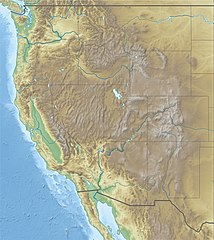
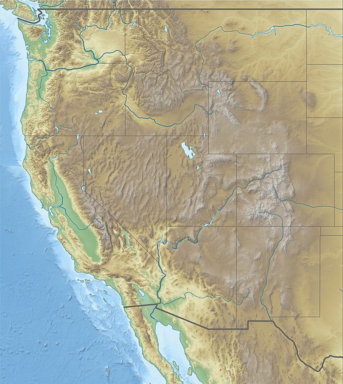
Deutsch: Physische Positionskarte der westlichen Staaten der USA
Quadratische Plattkarte, N-S-Streckung 130.0 %. Geographische Begrenzung der Karte: Equirectangular projection, N/S stretching 130.0 %. Geographic limits of the map:
|
| Date | |
| Source |
Own work
|
| Author | Alexrk2 |
| Other versions |
|


|
This map has been made or improved in the German Kartenwerkstatt (Map Lab). You can propose maps to improve as well.
|
Licensing edit
I, the copyright holder of this work, hereby publish it under the following license:
This file is licensed under the Creative Commons Attribution 3.0 Unported license.
- You are free:
- to share – to copy, distribute and transmit the work
- to remix – to adapt the work
- Under the following conditions:
- attribution – You must give appropriate credit, provide a link to the license, and indicate if changes were made. You may do so in any reasonable manner, but not in any way that suggests the licensor endorses you or your use.
File history
Click on a date/time to view the file as it appeared at that time.
| Date/Time | Thumbnail | Dimensions | User | Comment | |
|---|---|---|---|---|---|
| current | 11:59, 25 April 2010 | | 1,867 × 2,091 (1.4 MB) | Alexrk2 (talk | contribs) | == {{int:filedesc}} == {{Information |Description= {{de|Physische Positionskarte der westlichen Staaten der USA}} Quadratische Plattkarte, N-S-Streckung 130.0 %. Geographische Begrenzung der Karte: {{en|Physical location map of [[:en:Western U |
You cannot overwrite this file.
File usage on Commons
The following 54 pages use this file:
- User:Fæ/Imagehash/NOAA near matches
- Commons:Files used on the AARoads Wiki/69
- File:Life is Strange 2 Map (USA West Coast).png
- File:Symphyotrichum molle distribution 2.jpg
- File:USA Region West landcover location map.jpg
- File:USA Region West location map.svg
- File:USA Region West relief Argus Range location map.jpg
- File:USA Region West relief Bear River Mountains location map.jpg
- File:USA Region West relief Black Mountains location map.jpg
- File:USA Region West relief Bradshaw Mountains location map.jpg
- File:USA Region West relief Chiricahua Mountains location map.jpg
- File:USA Region West relief Chisos Mountains location map.jpg
- File:USA Region West relief Coso Range location map.jpg
- File:USA Region West relief Diablo Range location map.jpg
- File:USA Region West relief Dragoon Mountains location map.jpg
- File:USA Region West relief Elk (Colorado) location map.jpg
- File:USA Region West relief Gabilan Range location map.jpg
- File:USA Region West relief Grand Mesa location map.jpg
- File:USA Region West relief Gros Ventre Range location map.jpg
- File:USA Region West relief Guadalupe Mountains location map.jpg
- File:USA Region West relief House Range location map.jpg
- File:USA Region West relief Klamath Mountains location map.jpg
- File:USA Region West relief Lost River Range location map.jpg
- File:USA Region West relief Marble Mountains location map.jpg
- File:USA Region West relief Mayacamas Mountains location map.jpg
- File:USA Region West relief Northern Oregon Coast Range location map.jpg
- File:USA Region West relief Oregon Coast Range location map.jpg
- File:USA Region West relief Panamint Range location map.jpg
- File:USA Region West relief Pinaleno Mountains.jpg
- File:USA Region West relief Pryor Mountains location map.jpg
- File:USA Region West relief Rincon Mountains location map.jpg
- File:USA Region West relief San Andres Mountains location map.jpg
- File:USA Region West relief Sandia Mountains location map.jpg
- File:USA Region West relief Sangre de Cristo Range location map.jpg
- File:USA Region West relief Santa Catalina Mountains location map.jpg
- File:USA Region West relief Santa Cruz Mountains location map.jpg
- File:USA Region West relief Santa Lucia Range location map.jpg
- File:USA Region West relief Sawatch Range location map.jpg
- File:USA Region West relief Sawtooth Range location map.jpg
- File:USA Region West relief Sierra San Pedro Martir location map.jpg
- File:USA Region West relief Siskiyou Mountains location map.jpg
- File:USA Region West relief Superstition Mountains location map.jpg
- File:USA Region West relief Teton Range location map.jpg
- File:USA Region West relief Trinity Mountains location map.jpg
- File:USA Region West relief Tucson Mountains location map.jpg
- File:USA Region West relief Wallowa Mountains location map.jpg
- File:USA Region West relief Wasatch Range location map.jpg
- File:USA Region West relief White Cloud Mountains location map.jpg
- File:USA Region West relief location Bitterroot Range map.jpg
- File:USA Region West relief location Clearwater Mountains map.jpg
- File:USA Region West relief location map.jpg
- File:USA Region West relief location map Capitan Mountains.jpg
- File:USA Region West relief location map Davis Mountains.jpg
- File:USA Region West relief location map Sierra Blanca.jpg
.png)
_location_map.jpg)
File usage on other wikis
The following other wikis use this file:
- Usage on ar.wikipedia.org
- Usage on az.wikipedia.org
- Usage on ba.wikipedia.org
- Usage on bn.wikipedia.org
- Usage on ceb.wikipedia.org
- Usage on de.wikipedia.org
- Lolo Pass
- Loveland Pass
- South Pass
- McClure-Pass
- Independence Pass
- Vail Pass
- Tennessee Pass (Colorado)
- Fremont Pass
- Wilkerson Pass
- Ute Pass
- Red Mountain Pass
- Molas Pass
- Coal Bank Pass
- Wikipedia:Kartenwerkstatt/Positionskarten/Nordamerika
- Berthoud Pass
- Bald Mountain Pass
- Vorlage:Positionskarte USA West
- Wikipedia:Kartenwerkstatt/Archiv/2010-04
- Togwotee Pass
- Two Ocean Pass
- Kingman Pass
- Dunraven Pass
- Usage on en.wikipedia.org
- Alpine skiing at the 2002 Winter Olympics
- Cattle mutilation
- Jackson Hole
- Casper Mountain
- Battle of San Pasqual
- Alpine skiing at the 1960 Winter Olympics
- Women's Challenge
- Treasure Valley Community College
- Camas Prairie Railroad
- Intermountain West
- National Interagency Fire Center
- Vince Genna Stadium
- Lost Trail Pass
- Hungry Horse Dam
- Wichita State University football team plane crash
View more global usage of this file.