File:USGS National Map viewer after GNIS finding Kittaning Gap, Pennsylbania near Altoona, PA and showing the PRR Horseshoe Curve.png

Size of this preview: 800 × 378 pixels. Other resolutions: 320 × 151 pixels | 640 × 302 pixels | 1,024 × 483 pixels | 1,680 × 793 pixels.
Original file (1,680 × 793 pixels, file size: 1.98 MB, MIME type: image/png)
Captions
Captions
Add a one-line explanation of what this file represents
Summary
edit
| Description |
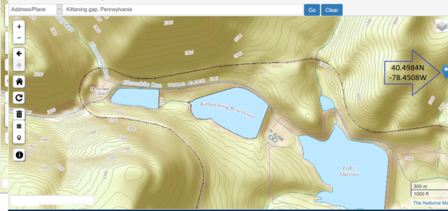
English: USGS National Map viewer after finding Kittaning Gap, by name Pennsylbania near Altoona, PA and showing the PRR Horseshoe Curve. |
| Date | |
| Source | http://geonames.usgs.gov/apex/f?p=136:3:0::NO:3:P3_FID%2CP3_TITLE:1216091%2CTownship+of+Portage |
| Author | FrankB |
Licensing
edit
This image is in the public domain in the United States because it only contains materials that originally came from the United States Geological Survey, an agency of the United States Department of the Interior. For more information, see the official USGS copyright policy.
|
File history
Click on a date/time to view the file as it appeared at that time.
| Date/Time | Thumbnail | Dimensions | User | Comment | |
|---|---|---|---|---|---|
| current | 18:25, 7 May 2016 | | 1,680 × 793 (1.98 MB) | Fabartus (talk | contribs) | User created page with UploadWizard |
You cannot overwrite this file.
File usage on Commons
There are no pages that use this file.
File usage on other wikis
The following other wikis use this file:
- Usage on ar.wikipedia.org
- Usage on en.wikipedia.org
- Usage on www.wikidata.org