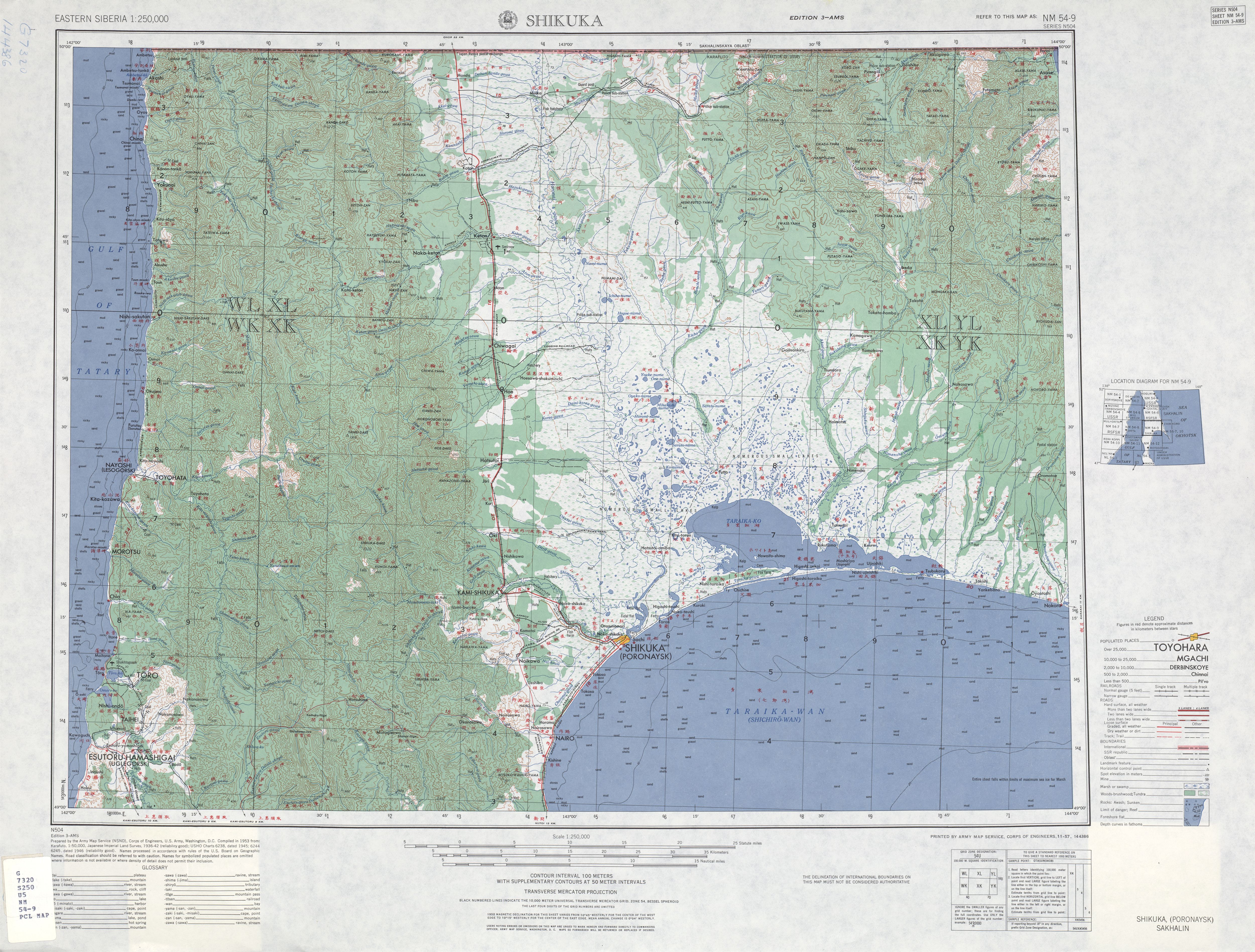
File:USSR map NM 54-9 Shikuka.jpg
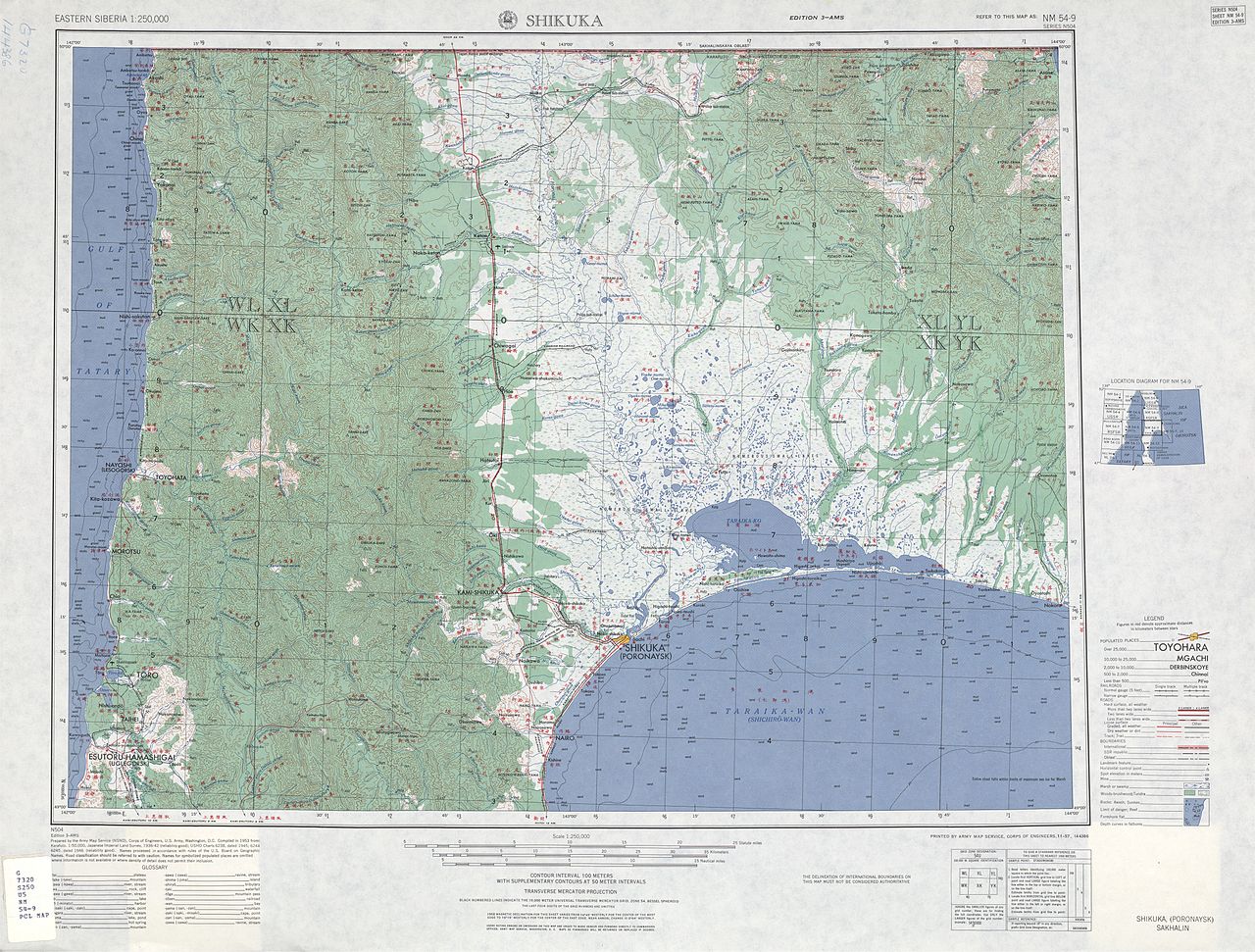
Size of this preview: 790 × 599 pixels. Other resolutions: 317 × 240 pixels | 633 × 480 pixels | 1,013 × 768 pixels | 1,280 × 971 pixels | 2,560 × 1,942 pixels | 5,000 × 3,793 pixels.
Original file (5,000 × 3,793 pixels, file size: 5 MB, MIME type: image/jpeg)
Captions
Captions
Add a one-line explanation of what this file represents
Summary
edit| Description |
English: List from Eastern Siberia AMS Topographic Maps. Series N504, U.S. Army Map Service, 1947
Русский: Лист из набора карт Восточной Сибири Картографической военной службы США. Серия 504. 1947 |
|||||||||
| Date | ||||||||||
| Source | A Univercity of Texas libraries | |||||||||
| Creator |
English: U.S. Army Map Service |
|||||||||
| Geotemporal data | ||||||||||
| Bounding box |
|
|||||||||
| Georeferencing | ||||||||||
| Other versions | ||||||||||


.jpg)
Licensing
edit
This file is a work of a U.S. Army soldier or employee, taken or made as part of that person's official duties. As a work of the U.S. federal government, it is in the public domain in the United States.
|
 |
File history
Click on a date/time to view the file as it appeared at that time.
| Date/Time | Thumbnail | Dimensions | User | Comment | |
|---|---|---|---|---|---|
| current | 20:19, 12 September 2010 | | 5,000 × 3,793 (5 MB) | ShinePhantom (talk | contribs) |
You cannot overwrite this file.
File usage on Commons
The following 3 pages use this file:
File usage on other wikis
The following other wikis use this file:
- Usage on az.wikipedia.org
- Usage on ru.wikipedia.org