File:US 80 Arizona 1956.svg

Size of this PNG preview of this SVG file: 384 × 384 pixels. Other resolutions: 240 × 240 pixels | 480 × 480 pixels | 768 × 768 pixels | 1,024 × 1,024 pixels | 2,048 × 2,048 pixels.
Original file (SVG file, nominally 384 × 384 pixels, file size: 13 KB)
Captions
Captions
Add a one-line explanation of what this file represents
Summary edit
| Description |
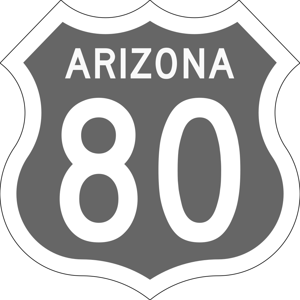
English: This image was modified from the original image by myself into the 1950's technicolor U.S. Route 80 shield used by Arizona. Each color meant a different direction. Brown meant East, Green meant South, Orange meant North and Blue meant West. Arizona replaced the signs with traditional Black and White shields in the late 50's early 60's. In this case, the color gray is simply for directional neutrality purposes for templates and articles in which the shield is supposed to represent the highway going in both directions. Uses Roadgeek 2005 Series C font. |
| Date | |
| Source |
 |
| Author | Matthew Anderson (Modified from original by Spui and Ltljltlj) |
| SVG development |
Licensing edit
This file is in the public domain because it comes from the Manual on Uniform Traffic Control Devices, which states specifically on page I-1 that:
|
 |
File history
Click on a date/time to view the file as it appeared at that time.
| Date/Time | Thumbnail | Dimensions | User | Comment | |
|---|---|---|---|---|---|
| current | 12:49, 19 June 2019 | | 384 × 384 (13 KB) | Minorax (talk | contribs) | validate // Editing SVG source code using User:Rillke/SVGedit.js; upload handled by User:Rillke/MwJSBot.js |
| 06:45, 19 June 2019 |  | 384 × 384 (13 KB) | MatthewAnderson707 (talk | contribs) | User created page with UploadWizard |
You cannot overwrite this file.
File usage on Commons
There are no pages that use this file.