File:Uele rivière Bomokandi.jpg

Size of this preview: 800 × 590 pixels. Other resolutions: 320 × 236 pixels | 640 × 472 pixels | 1,024 × 755 pixels | 1,280 × 944 pixels | 2,546 × 1,878 pixels.
Original file (2,546 × 1,878 pixels, file size: 1.18 MB, MIME type: image/jpeg)
Captions
Captions
Add a one-line explanation of what this file represents
Summary
edit
| Camera location | | View this and other nearby images on: OpenStreetMap |
|---|
| Description |
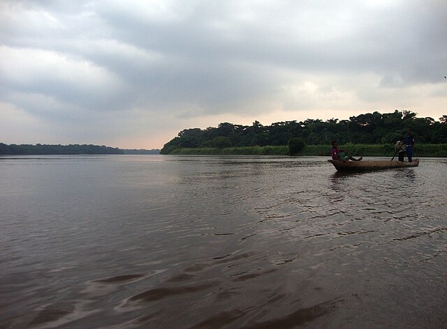
English: Uele river, with nearby dwellers on a pirogue, in June 2012. The picture was taken between Bomokandi and Logi Logi villages, that is where the river crosses the road Dingila-Ango, just before receiving the waters of Bomokandi river.
Français : La rivière Uélé, avec des piroguiers locaux, en juin 2012. Photo prise entre les villages de Bomokandi et Logi Logi, c'est à dire là où la rivière coupe la route Dingila-Ango, juste avant de recevoir les eaux de la rivière Bomokandi. |
| Date | |
| Source | Own work |
| Author | Bicounet |
Licensing
edit
I, the copyright holder of this work, hereby publish it under the following license:
This file is licensed under the Creative Commons Attribution-Share Alike 3.0 Unported license.
- You are free:
- to share – to copy, distribute and transmit the work
- to remix – to adapt the work
- Under the following conditions:
- attribution – You must give appropriate credit, provide a link to the license, and indicate if changes were made. You may do so in any reasonable manner, but not in any way that suggests the licensor endorses you or your use.
- share alike – If you remix, transform, or build upon the material, you must distribute your contributions under the same or compatible license as the original.
File history
Click on a date/time to view the file as it appeared at that time.
| Date/Time | Thumbnail | Dimensions | User | Comment | |
|---|---|---|---|---|---|
| current | 17:32, 29 July 2012 | | 2,546 × 1,878 (1.18 MB) | Bicounet~commonswiki (talk | contribs) |
You cannot overwrite this file.
File usage on Commons
There are no pages that use this file.
File usage on other wikis
The following other wikis use this file:
- Usage on en.wikipedia.org
- Usage on es.wikipedia.org
- Usage on fi.wikipedia.org
- Usage on fr.wikipedia.org
- Usage on nl.wikipedia.org
- Usage on rw.wikipedia.org