File:Ugo-Honjo Station 20121015.jpg
Size of this preview: 800 × 451 pixels. Other resolutions: 320 × 180 pixels | 640 × 361 pixels | 1,024 × 577 pixels | 1,280 × 722 pixels | 3,264 × 1,840 pixels.
Original file (3,264 × 1,840 pixels, file size: 2.07 MB, MIME type: image/jpeg)
File information
Structured data
Captions
Summary
editDescriptionUgo-Honjo Station 20121015.jpg |
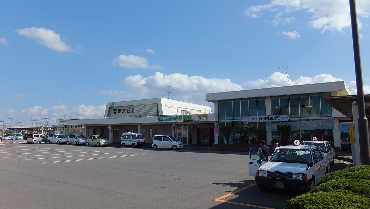
English: Ugo-Honjō Station on the Uo Main Line in Akita Prefecture, Japan
日本語: 羽越本線・羽後本荘駅 |
Date | Taken on 15 October 2012, 10:35:59 |
Source | Own work |
Author | 掬茶 (Kikucha) |
Camera location | 39° 23′ 11.47″ N, 140° 03′ 19.23″ E | View this and other nearby images on: OpenStreetMap | 39.386520; 140.055342 |
---|
Licensing
editI, the copyright holder of this work, hereby publish it under the following license:
This file is licensed under the Creative Commons Attribution-Share Alike 3.0 Unported license.
- You are free:
- to share – to copy, distribute and transmit the work
- to remix – to adapt the work
- Under the following conditions:
- attribution – You must give appropriate credit, provide a link to the license, and indicate if changes were made. You may do so in any reasonable manner, but not in any way that suggests the licensor endorses you or your use.
- share alike – If you remix, transform, or build upon the material, you must distribute your contributions under the same or compatible license as the original.
File history
Click on a date/time to view the file as it appeared at that time.
Date/Time | Thumbnail | Dimensions | User | Comment | |
---|---|---|---|---|---|
current | 11:34, 5 July 2014 | 3,264 × 1,840 (2.07 MB) | 掬茶 (talk | contribs) | User created page with UploadWizard |
You cannot overwrite this file.
File usage on Commons
The following page uses this file:
Metadata
This file contains additional information such as Exif metadata which may have been added by the digital camera, scanner, or software program used to create or digitize it. If the file has been modified from its original state, some details such as the timestamp may not fully reflect those of the original file. The timestamp is only as accurate as the clock in the camera, and it may be completely wrong.
Camera manufacturer | FUJIFILM |
---|---|
Camera model | FinePix F770EXR |
Exposure time | 1/6,139 sec (0.00016289297931259) |
F-number | f/0 |
ISO speed rating | 100 |
Date and time of data generation | 10:35, 15 October 2012 |
Lens focal length | 4.6 mm |
Latitude | 39° 23′ 11.47″ N |
Longitude | 140° 3′ 19.23″ E |
Altitude | 237.55 meters below sea level |
Orientation | Normal |
Horizontal resolution | 72 dpi |
Vertical resolution | 72 dpi |
Software used | Digital Camera FinePix F770EXR Ver1.02 |
File change date and time | 18:04, 1 December 2012 |
Y and C positioning | Co-sited |
Exposure Program | Landscape mode (for landscape photos with the background in focus) |
Exif version | 2.3 |
Date and time of digitizing | 10:35, 15 October 2012 |
Meaning of each component |
|
Image compression mode | 4 |
APEX shutter speed | 8.32 |
APEX aperture | 5.7 |
APEX brightness | 9.6 |
APEX exposure bias | 0 |
Maximum land aperture | 3.6 APEX (f/3.48) |
Metering mode | Pattern |
Light source | Unknown |
Flash | Flash did not fire, compulsory flash suppression |
Supported Flashpix version | 1 |
Color space | sRGB |
Focal plane X resolution | 5,077 |
Focal plane Y resolution | 5,077 |
Focal plane resolution unit | 3 |
Sensing method | One-chip color area sensor |
File source | Digital still camera |
Scene type | A directly photographed image |
Custom image processing | Normal process |
Exposure mode | Auto exposure |
White balance | Auto white balance |
Scene capture type | Landscape |
Sharpness | Normal |
Subject distance range | Unknown |
GPS time (atomic clock) | 01:34 |
Satellites used for measurement | 8 |
Receiver status | Measurement in progress |
Measurement mode | 3-dimensional measurement |
Measurement precision | Poor (1.48) |
Speed unit | Kilometers per hour |
Speed of GPS receiver | 0.47 |
Reference for direction of image | True direction |
Direction of image | 70.55 |
Geodetic survey data used | WGS-84 |
GPS date | 15 October 2012 |
GPS tag version | 2.3.0.0 |
Keywords |
|