File:University-city-map.gif
No higher resolution available.
University-city-map.gif (575 × 425 pixels, file size: 82 KB, MIME type: image/gif)
Captions
Captions
Add a one-line explanation of what this file represents

|
This file was moved to Wikimedia Commons from en.wikipedia using a bot script. All source information is still present. It requires review. Additionally, there may be errors in any or all of the information fields; information on this file should not be considered reliable and the file should not be used until it has been reviewed and any needed corrections have been made. Once the review has been completed, this template should be removed. For details about this file, see below. Check now! |
Summary edit
| Description | |
| Date |
|
| Source |
http://factfinder.census.gov/
|
| Author | Uploaded by Americasroof at en.wikipedia |
| Permission (Reusing this file) |
Public domain |
Licensing edit
This image or file is a work of a United States Census Bureau employee, taken or made as part of that person's official duties. As a work of the U.S. federal government, the image is in the public domain.
|
 |
Original upload log edit
The original description page was here. All following user names refer to en.wikipedia.
Upload date | User | Bytes | Dimensions | Comment
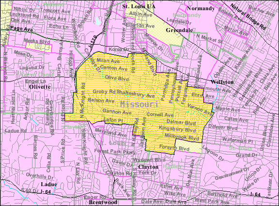
- 2008-01-08 03:39 (UTC) | Americasroof | 83890 (bytes) | 575×425 | {{Information |Description=U.S. Census Map of [[University City, Missouri]] |Source=http://factfinder.census.gov/servlet/SAFFFacts?_event=&geo_id=16000US2975220&_geoContext=01000US%7C04000US29%7C16000US2975220&_street=&_county=University+City&_cityTown=Un
File history
Click on a date/time to view the file as it appeared at that time.
| Date/Time | Thumbnail | Dimensions | User | Comment | |
|---|---|---|---|---|---|
| current | 12:38, 10 January 2012 | | 575 × 425 (82 KB) | SreeBot (talk | contribs) | (Original text) : {{Information |Description=U.S. Census Map of University City, Missouri |Source=http://factfinder.census.gov/servlet/SAFFFacts?_event=&geo_id=16000US2975220&_geoContext=01000US%7C04000US29%7C16000US2975220&_street=&_county=University |
You cannot overwrite this file.
File usage on Commons
There are no pages that use this file.
File usage on other wikis
The following other wikis use this file:
- Usage on en.wikipedia.org
- Usage on fa.wikipedia.org
- Usage on sh.wikipedia.org
- Usage on ur.wikipedia.org