File:Upolu OnEarth WMS.png

Size of this preview: 800 × 332 pixels. Other resolutions: 320 × 133 pixels | 640 × 266 pixels | 1,024 × 425 pixels | 1,280 × 531 pixels | 2,548 × 1,058 pixels.
Original file (2,548 × 1,058 pixels, file size: 3.01 MB, MIME type: image/png)
Captions
Captions
Add a one-line explanation of what this file represents
| This image is in the public domain because it is a screenshot from NASA’s globe software World Wind using a public domain layer, such as Blue Marble, MODIS, Landsat, SRTM, USGS or GLOBE.
|
 |
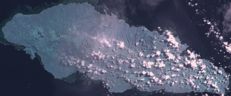
Satellite image of Upolu.
Screen capture from NASA World Wind, OnEarth WMS global mosaic visual colour layer. Coordinates:
worldwind://goto/world=Earth&lat=-13.92111&lon=-171.74843&alt=64836
File history
Click on a date/time to view the file as it appeared at that time.
| Date/Time | Thumbnail | Dimensions | User | Comment | |
|---|---|---|---|---|---|
| current | 19:24, 10 January 2007 | | 2,548 × 1,058 (3.01 MB) | Hautala (talk | contribs) | {{PD-WorldWind}} Satellite image of Upolu. Screen capture from NASA World Wind, OnEarth WMS global mosaic visual colour layer. Coordinates: worldwind://goto/world=Earth&lat=-13.92111&lon=-171.74843&alt=64836 Category:Samoa |
You cannot overwrite this file.
File usage on Commons
There are no pages that use this file.
File usage on other wikis
The following other wikis use this file:
- Usage on de.wikipedia.org
- Usage on fr.wikipedia.org
- Usage on oc.wikipedia.org
- Usage on sk.wikipedia.org
- Usage on sv.wikipedia.org