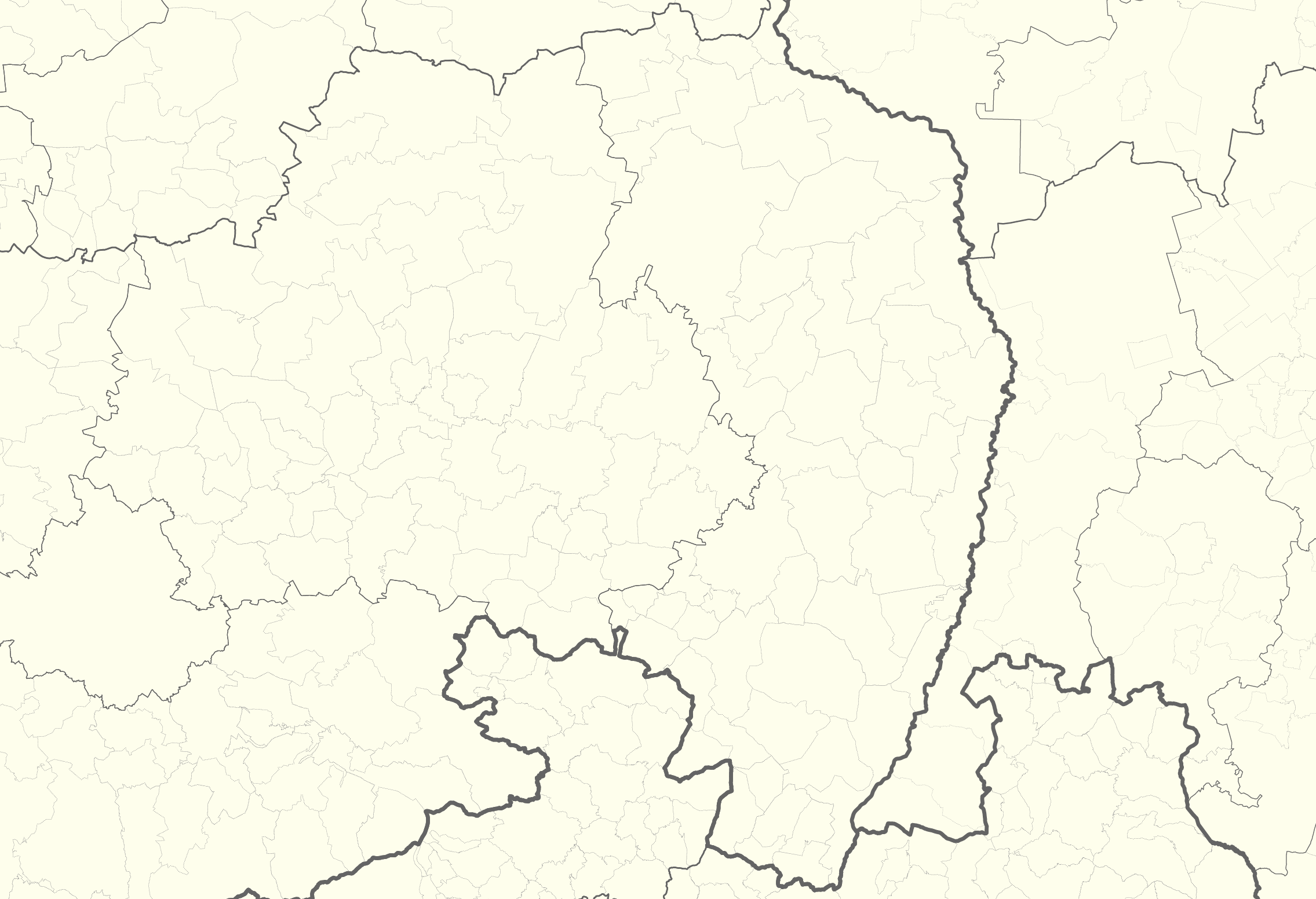
File:Upper Lusatia location map.png
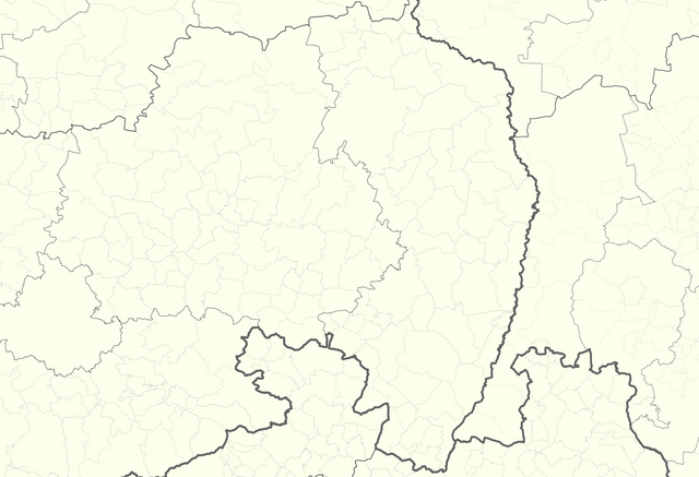
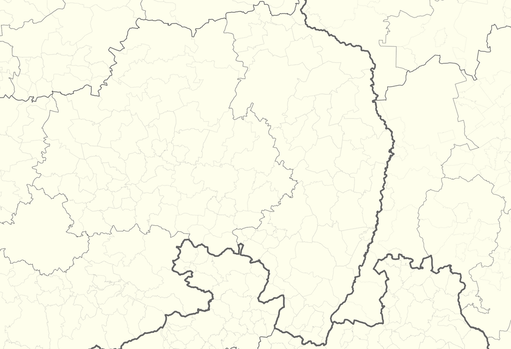
Size of this preview: 800 × 547 pixels. Other resolutions: 320 × 219 pixels | 640 × 437 pixels | 1,024 × 700 pixels | 1,280 × 875 pixels | 2,271 × 1,552 pixels.
Original file (2,271 × 1,552 pixels, file size: 616 KB, MIME type: image/png)
Captions
Captions
Add a one-line explanation of what this file represents
| Description |
|
| Date | see file history |
| Source | Own work, using OpenStreetMap data |
| Author | Maximilian Dörrbecker (Chumwa) |
| Permission (Reusing this file) |
All OpenStreetMap data and maps are Creative Commons "CC-BY-SA 2.0" licensed This file is licensed under the Creative Commons Attribution-Share Alike 2.0 Generic license.
|
File history
Click on a date/time to view the file as it appeared at that time.
| Date/Time | Thumbnail | Dimensions | User | Comment | |
|---|---|---|---|---|---|
| current | 05:39, 1 October 2015 | | 2,271 × 1,552 (616 KB) | Chumwa (talk | contribs) | {{Information |Description= *{{de|Positionskarte der Oberlausitz}} *{{en|Upper Lusatia location map}} 50.814 N ↕ 52.260 N / 13.374 O ↔ 15.453 O |Author=Maximilian Dörrbecker (Chumwa) |Source={{own}}, using... |
You cannot overwrite this file.
File usage on Commons
The following page uses this file:
File usage on other wikis
The following other wikis use this file:
- Usage on de.wikipedia.org
- Usage on dsb.wikipedia.org
- Usage on eo.wikipedia.org
- Usage on fr.wikipedia.org