File:VIEW OF DOUBLE BASCULE BRIDGE BUILT IN 1923 - Isleton Bridge, Spanning Sacramento River at Post Mile 5.95 of California State Highway 160, Isleton, Sacramento County, CA HAER CAL,34-ISLE,1-1.tif

Size of this JPG preview of this TIF file: 800 × 572 pixels. Other resolutions: 320 × 229 pixels | 640 × 458 pixels | 1,024 × 732 pixels | 1,280 × 915 pixels | 2,560 × 1,830 pixels | 5,299 × 3,788 pixels.
Original file (5,299 × 3,788 pixels, file size: 19.15 MB, MIME type: image/tiff)
Captions
Captions
Add a one-line explanation of what this file represents
Summary edit
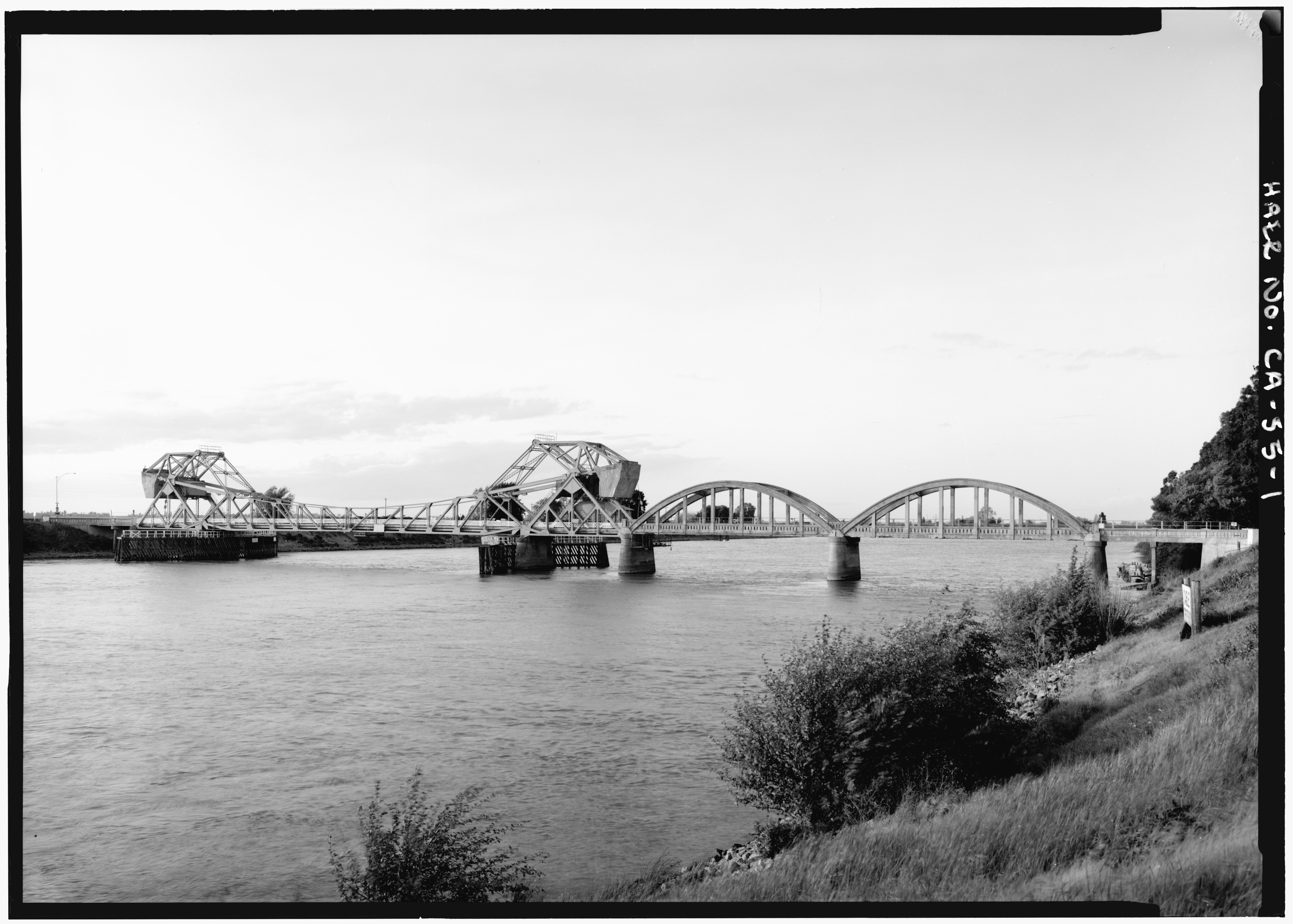
| VIEW OF DOUBLE BASCULE BRIDGE BUILT IN 1923 - Isleton Bridge, Spanning Sacramento River at Post Mile 5.95 of California State Highway 160, Isleton, Sacramento County, CA | ||||
|---|---|---|---|---|
| Photographer |
Lowe, Jet, creator |
|||
| Title |
VIEW OF DOUBLE BASCULE BRIDGE BUILT IN 1923 - Isleton Bridge, Spanning Sacramento River at Post Mile 5.95 of California State Highway 160, Isleton, Sacramento County, CA |
|||
| Depicted place | California; Sacramento County; Isleton | |||
| Date | 1983 | |||
| Dimensions | 5 x 7 in. | |||
| Current location |
Library of Congress Prints and Photographs Division Washington, D.C. 20540 USA http://hdl.loc.gov/loc.pnp/pp.print |
|||
| Accession number |
HAER CAL,34-ISLE,1-1 |
|||
| Credit line |
|
|||
| Source | https://www.loc.gov/pictures/item/ca1497.photos.014436p | |||
| Permission (Reusing this file) |
|
|||

| Camera location | | View this and other nearby images on: OpenStreetMap |
|---|
File history
Click on a date/time to view the file as it appeared at that time.
| Date/Time | Thumbnail | Dimensions | User | Comment | |
|---|---|---|---|---|---|
| current | 12:09, 3 July 2014 |  | 5,299 × 3,788 (19.15 MB) | Fæ (talk | contribs) | GWToolset: Creating mediafile for Fæ. HABS batch upload 2 July 2014 (301:400) |
You cannot overwrite this file.
File usage on Commons
The following page uses this file: