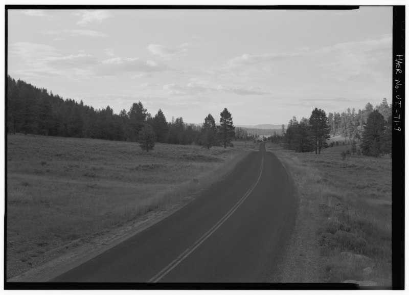
File:VIEW OF ROAD CROSSING PAUNSAUGUNT PLATEAU, FACING SOUTHWEST? - Bryce Canyon National Park Rim Road, State Highway 63 to Rainbow Point, Tropic, Garfield County, UT HAER UTAH,9-TROP.V,1; -9.tif

Size of this JPG preview of this TIF file: 800 × 577 pixels. Other resolutions: 320 × 231 pixels | 640 × 462 pixels | 1,024 × 739 pixels | 1,280 × 923 pixels | 2,560 × 1,846 pixels | 5,000 × 3,606 pixels.
Original file (5,000 × 3,606 pixels, file size: 17.2 MB, MIME type: image/tiff)
Captions
Captions
Add a one-line explanation of what this file represents
Summary edit
| VIEW OF ROAD CROSSING PAUNSAUGUNT PLATEAU, FACING SOUTHWEST? - Bryce Canyon National Park Rim Road, State Highway 63 to Rainbow Point, Tropic, Garfield County, UT | ||||
|---|---|---|---|---|
| Title |
VIEW OF ROAD CROSSING PAUNSAUGUNT PLATEAU, FACING SOUTHWEST? - Bryce Canyon National Park Rim Road, State Highway 63 to Rainbow Point, Tropic, Garfield County, UT |
|||
| Description |
U.S. Forest Service; Bureau of Public Roads; Union Construction Company; WW Clyde and Company; Reynolds-Ely Construction Company; Bryce, Ebenezer; Humphrey, J W; Harding, Warren G; Allen, Thomas J; Brown, R A; Finch, B J; Civilian Conservation Corps; Quin, transmitter; French, Christine Madrid, historian; Grogan, Brian C, photographer |
|||
| Depicted place | Utah; Garfield County; Tropic | |||
| Date | Documentation compiled after 1968 | |||
| Dimensions | 5 x 7 in. | |||
| Current location |
Library of Congress Prints and Photographs Division Washington, D.C. 20540 USA http://hdl.loc.gov/loc.pnp/pp.print |
|||
| Accession number |
HAER UTAH,9-TROP.V,1; -9 |
|||
| Credit line |
|
|||
| Notes |
|
|||
| Source | https://www.loc.gov/pictures/item/ut0399.photos.367590p | |||
| Permission (Reusing this file) |
|
|||

File history
Click on a date/time to view the file as it appeared at that time.
| Date/Time | Thumbnail | Dimensions | User | Comment | |
|---|---|---|---|---|---|
| current | 02:13, 4 August 2014 |  | 5,000 × 3,606 (17.2 MB) | Fæ (talk | contribs) | GWToolset: Creating mediafile for Fæ. HABS 2014-08-02 (3401:3600) |
You cannot overwrite this file.
File usage on Commons
The following page uses this file: