File:VOA Relay Station Okuma 1962-06-30.jpg
Size of this preview: 625 × 600 pixels. Other resolutions: 250 × 240 pixels | 500 × 480 pixels | 800 × 768 pixels | 1,067 × 1,024 pixels | 2,134 × 2,048 pixels | 3,937 × 3,779 pixels.
Original file (3,937 × 3,779 pixels, file size: 853 KB, MIME type: image/jpeg)
Captions
Captions
Add a one-line explanation of what this file represents
Summary
edit| Description |
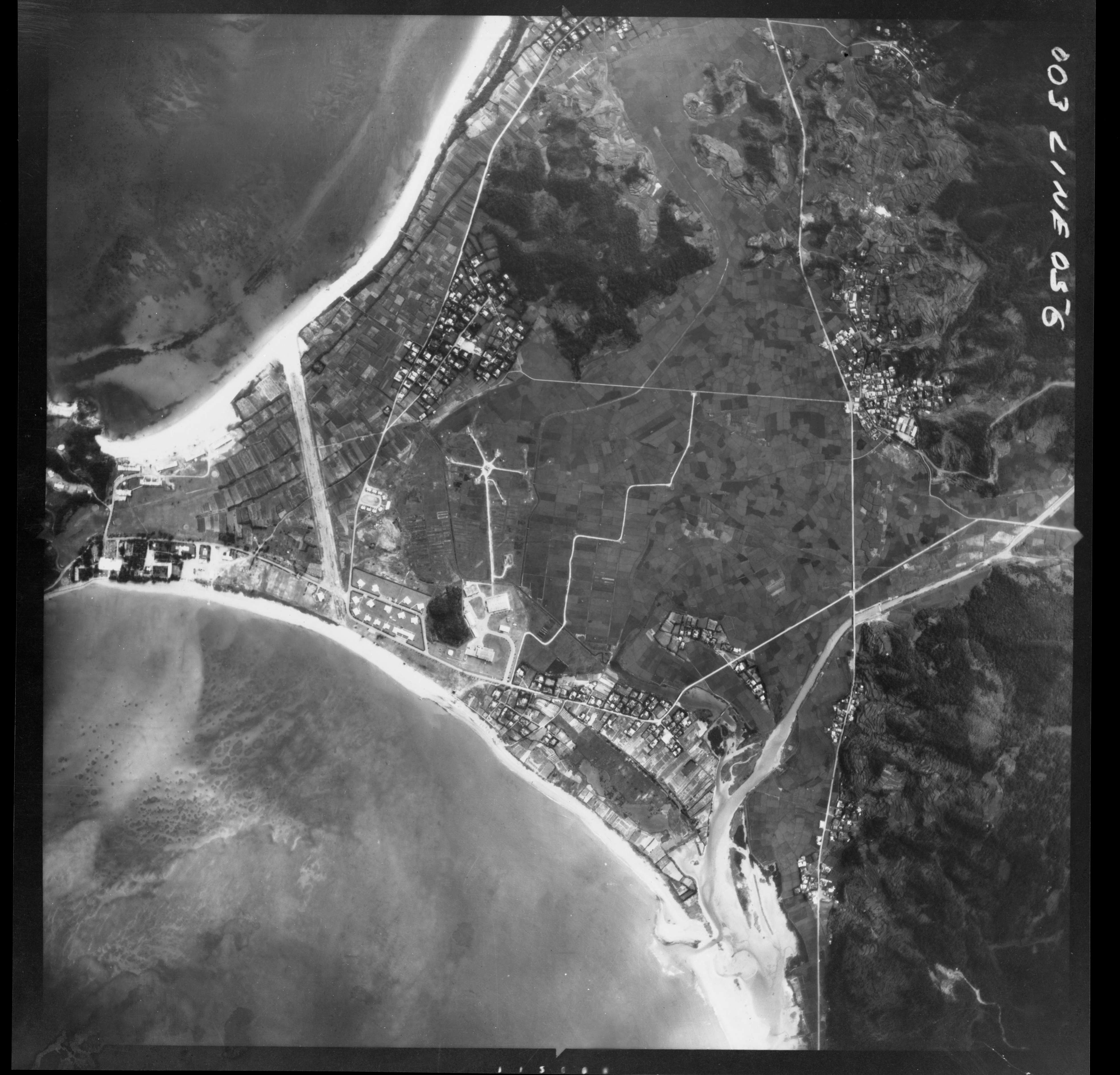
日本語: VOA Relay Station Okuma 1962-06-29
USAokinawa-LINE56-2 |
| Date | |
| Source | 国土地理院地図・空中写真閲覧サービス |
| Author | U.S. Military |
Licensing
edit
|
The copyright holder of this file, Ministry of Land, Infrastructure, Transport and Tourism, allows anyone to use it for any purpose, provided that the copyright holder is properly attributed. Redistribution, derivative work, commercial use, and all other use is permitted. |
Attribution:
National Land Image Information (Color Aerial Photographs), created by Ministry of Land, Infrastructure, Transport and Tourism, distributed by Geospatial Information Authority of Japan
|

This image is a work of a U.S. military or Department of Defense employee, taken or made as part of that person's official duties. As a work of the U.S. federal government, the image is in the public domain in the United States.
|
 |
File history
Click on a date/time to view the file as it appeared at that time.
| Date/Time | Thumbnail | Dimensions | User | Comment | |
|---|---|---|---|---|---|
| current | 22:44, 20 February 2022 | | 3,937 × 3,779 (853 KB) | Alain Parks (talk | contribs) | Uploaded a work by U.S. Military from 国土地理院地図・空中写真閲覧サービス with UploadWizard |
You cannot overwrite this file.
File usage on Commons
The following page uses this file: