File:VT Colchester Screen Shot 2019-05-01 at 9.37.47 AM.png

Size of this preview: 657 × 600 pixels. Other resolutions: 263 × 240 pixels | 526 × 480 pixels | 841 × 768 pixels | 1,122 × 1,024 pixels | 2,244 × 2,048 pixels | 2,910 × 2,656 pixels.
Original file (2,910 × 2,656 pixels, file size: 14.36 MB, MIME type: image/png)
Captions
Captions
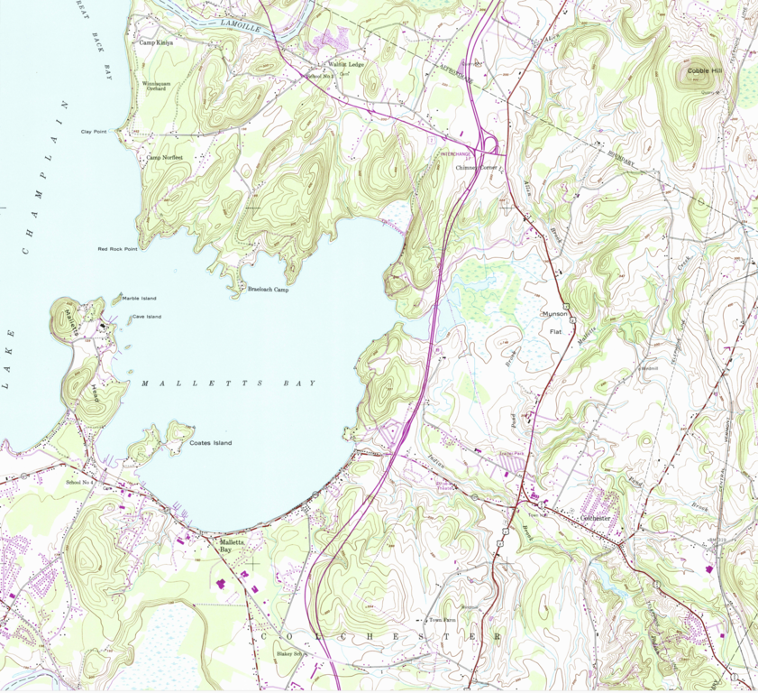
Topographical map of Colchester, Vermont (partial).
Summary
edit
| Description |
English: Topographical map of Colchester, Vermont (partial). From US Geological Survey, Colchester Vermont quadrangle, 1987 |
| Date | |
| Source | https://store.usgs.gov/product/105049 |
| Author | US Government, United States Geological Survey |
Licensing
edit
This image is in the public domain in the United States because it only contains materials that originally came from the United States Geological Survey, an agency of the United States Department of the Interior. For more information, see the official USGS copyright policy.
|
File history
Click on a date/time to view the file as it appeared at that time.
| Date/Time | Thumbnail | Dimensions | User | Comment | |
|---|---|---|---|---|---|
| current | 13:46, 1 May 2019 | | 2,910 × 2,656 (14.36 MB) | John Mackenzie Burke (talk | contribs) | User created page with UploadWizard |
You cannot overwrite this file.
File usage on Commons
There are no pages that use this file.