File:Vadstena Municipality map.svg

Size of this PNG preview of this SVG file: 800 × 590 pixels. Other resolutions: 320 × 236 pixels | 640 × 472 pixels | 1,024 × 755 pixels | 1,280 × 944 pixels | 2,560 × 1,889 pixels | 1,571 × 1,159 pixels.
Original file (SVG file, nominally 1,571 × 1,159 pixels, file size: 519 KB)
Captions
Captions
Add a one-line explanation of what this file represents
| Description |
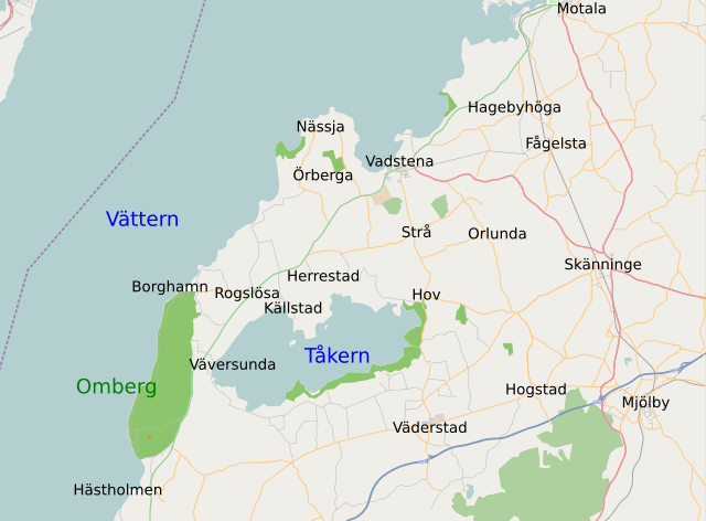
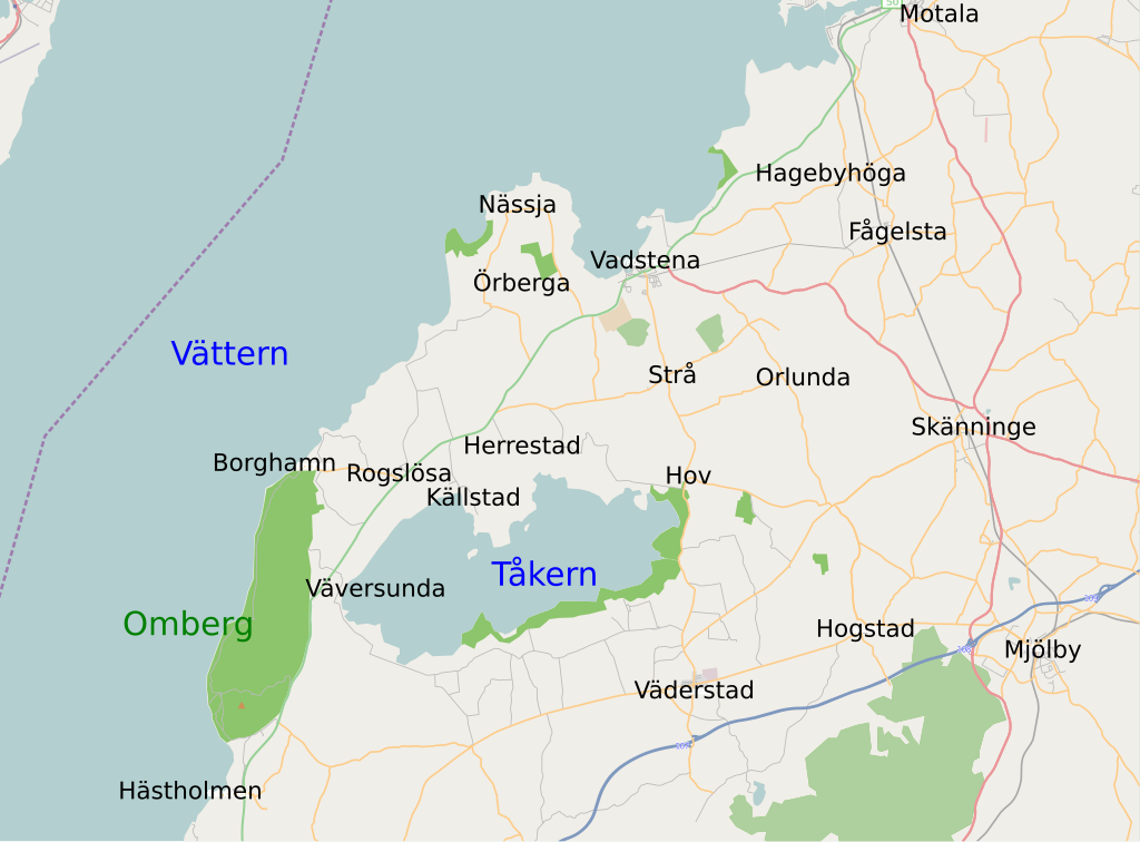
English: Map of Swedish municipality Vadstena.
Suomi: Ruotsalaisen Vadstenan kunnan kartta. |
| Date | 16 March 2009 (upload date) |
| Source | Openstreetmap.org |
| Author | Openstreetmap.org |
| Permission (Reusing this file) |
This file is licensed under the Creative Commons Attribution-Share Alike 2.0 Generic license.
|
File history
Click on a date/time to view the file as it appeared at that time.
| Date/Time | Thumbnail | Dimensions | User | Comment | |
|---|---|---|---|---|---|
| current | 21:58, 21 March 2009 | | 1,571 × 1,159 (519 KB) | Roquai (talk | contribs) | fix |
| 21:25, 21 March 2009 |  | 1,571 × 1,159 (550 KB) | Roquai (talk | contribs) | bigger texts | |
| 20:07, 16 March 2009 |  | 1,571 × 1,159 (529 KB) | Str4nd (talk | contribs) | Fix per request. | |
| 19:12, 16 March 2009 |  | 1,571 × 1,159 (542 KB) | Roquai (talk | contribs) | test? | |
| 19:03, 16 March 2009 |  | 1,571 × 1,159 (605 KB) | Roquai (talk | contribs) | test? | |
| 18:49, 16 March 2009 |  | 1,571 × 1,159 (605 KB) | Roquai (talk | contribs) | {{Information |Description={{en|1=Map of Swedish municipality Vadstena.}} {{fi|1=Ruotsalaisen Vadstenan kunnan kartta.}} |Source=Openstreetmap.org |Author=Openstreetmap.org |Date=Uploaded on 2009-03-16 |
You cannot overwrite this file.
File usage on Commons
There are no pages that use this file.
File usage on other wikis
The following other wikis use this file:
- Usage on fi.wikipedia.org