File:Valée du Schwarzbach - panoramio.jpg

Size of this preview: 800 × 530 pixels. Other resolutions: 320 × 212 pixels | 640 × 424 pixels | 1,024 × 678 pixels | 1,280 × 848 pixels | 2,560 × 1,695 pixels | 4,776 × 3,163 pixels.
Original file (4,776 × 3,163 pixels, file size: 4.56 MB, MIME type: image/jpeg)
Captions
Captions
Add a one-line explanation of what this file represents
Summary
edit
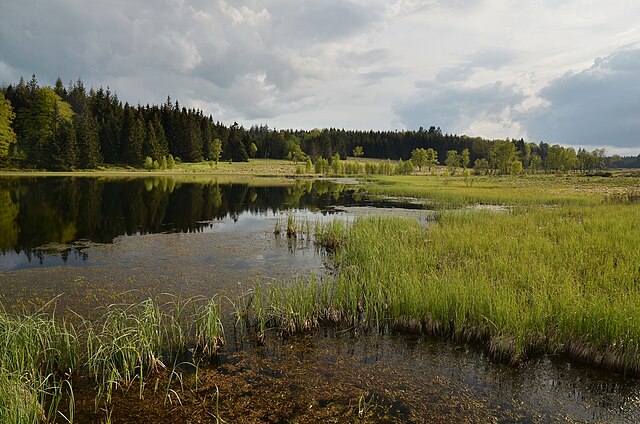
| Description | Valée du Schwarzbach | ||
| Date | 21 May 2012 (original upload date) | ||
| Source | https://web.archive.org/web/20161025031936/http://www.panoramio.com/photo/72469246 | ||
| Author | Gilles San Martin | ||
| Permission (Reusing this file) |
This file is licensed under the Creative Commons Attribution-Share Alike 3.0 Unported license. Attribution: Gilles San Martin
|
||
| Tags (from Panoramio photo page) | Waimes, Belgique, Küchelscheid "Hautes Fagnes" Belgium |
| Camera location | | View this and other nearby images on: OpenStreetMap |
|---|
File history
Click on a date/time to view the file as it appeared at that time.
| Date/Time | Thumbnail | Dimensions | User | Comment | |
|---|---|---|---|---|---|
| current | 17:33, 4 January 2017 | | 4,776 × 3,163 (4.56 MB) | Panoramio upload bot (talk | contribs) | == {{int:filedesc}} == {{Information |description=Valée du Schwarzbach |date={{Original upload date|2012-05-21}} |source=http://www.panoramio.com/photo/72469246 |author=[http://www.panoramio.com/user/4348874?with_photo_id=72469246 Gilles San Martin] |... |
You cannot overwrite this file.
File usage on Commons
There are no pages that use this file.