File:Val Culea dala locia de Val Culea te Val te Gherdëina.jpg

Size of this preview: 771 × 599 pixels. Other resolutions: 309 × 240 pixels | 618 × 480 pixels | 988 × 768 pixels | 1,280 × 995 pixels | 2,560 × 1,990 pixels | 13,239 × 10,293 pixels.
Original file (13,239 × 10,293 pixels, file size: 97.37 MB, MIME type: image/jpeg)
Captions
Captions
Add a one-line explanation of what this file represents
Summary edit
| Warning | The original file is very high-resolution. It might not load properly or could cause your browser to freeze when opened at full size. |
|---|
| Description |
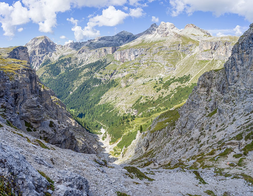
Italiano: La valletta Culea dalla Forcella Ciampëi in Valle Lunga nelle Dolomiti in Val Gardena. Valle Lunga nel Parco Naturale Puez-Odle (Q47524488) |
||||||
| Date | |||||||
| Source | Own work | ||||||
| Author |
|

| Camera location | | View this and other nearby images on: OpenStreetMap |
|---|
Licensing edit
I, the copyright holder of this work, hereby publish it under the following license:
This file is licensed under the Creative Commons Attribution-Share Alike 4.0 International license.
- You are free:
- to share – to copy, distribute and transmit the work
- to remix – to adapt the work
- Under the following conditions:
- attribution – You must give appropriate credit, provide a link to the license, and indicate if changes were made. You may do so in any reasonable manner, but not in any way that suggests the licensor endorses you or your use.
- share alike – If you remix, transform, or build upon the material, you must distribute your contributions under the same or compatible license as the original.
This image was uploaded as part of Wiki Loves Earth 2019.
|
 |
| Annotations | This image is annotated: View the annotations at Commons |
This image has been assessed using the Quality image guidelines and is considered a Quality image.
|
File history
Click on a date/time to view the file as it appeared at that time.
| Date/Time | Thumbnail | Dimensions | User | Comment | |
|---|---|---|---|---|---|
| current | 12:40, 13 June 2019 | | 13,239 × 10,293 (97.37 MB) | Moroder (talk | contribs) | =={{int:filedesc}}== {{Information |description= {{en|The ''Langental'' vally in the Puez-Geisler Nature Park, Dolomites UNESCO World Heritage Site. }} {{de|Das ''Culea'' Tal, Nebental des Langental in Gröden.}} {{it|1=La valletta ''Culea'' dalla Forcella ''Ciampëi'' in Valle Lunga nelle Dolomiti in Val Gardena. Valle Lunga nel Parco Naturale Puez-Odle <small>(Q47524488)</small>}} |da... |
You cannot overwrite this file.
File usage on Commons
The following 7 pages use this file:
- User:Mai-Sachme/South Tyrol/2019 June 11-20
- User:Yiyi/WLE19/13
- User talk:Moroder/Archives 2019-2
- Commons:Quality images/Subject/Places/Natural structures/archive 2019
- Commons:Quality images candidates/Archives June 21 2019
- File:Val Culea dala locia de Val Culea te Val te Gherdëina.jpg
- Category:Ciampei Pass
File usage on other wikis
The following other wikis use this file:
- Usage on lld.wikipedia.org
- Usage on www.wikidata.org