File:Valencia location map.png
Valencia_location_map.png (309 × 353 pixels, file size: 133 KB, MIME type: image/png)
Captions
Captions
Summary
edit
| Description |
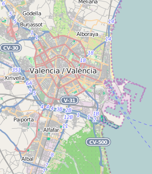
Polski: Mapa Walencji, Hiszpania
English: Map of Valencia, Spain |
|||||||||
| Date | ||||||||||
| Source | You may find a page on the OpenStreetMap wiki page for Walencja | |||||||||
| Creator |
OpenStreetMap contributors OpenStreetMap contributors |
|||||||||
| Permission (Reusing this file) |
OpenStreetMap data is available under the Open Database License (details). Map tiles are licensed under the Creative Commons Attribution-ShareAlike 2.0 license (CC-BY-SA 2.0).
This file is licensed under the Creative Commons Attribution-Share Alike 2.0 Generic license.
|
|||||||||
| Geotemporal data | ||||||||||
| Bounding box |
|
|||||||||
| Georeferencing | If inappropriate please set warp_status = skip to hide. | |||||||||
Licensing
edit
| This work contains information from OpenStreetMap, which is made available under the Open Database License (ODbL).
The ODbL does not require any particular license for maps produced from ODbL data. Prior to 1 August 2020, map tiles produced by the OpenStreetMap Foundation were licensed under the CC-BY-SA-2.0 license. Maps produced by other people may be subject to other licences. |
File history
Click on a date/time to view the file as it appeared at that time.
| Date/Time | Thumbnail | Dimensions | User | Comment | |
|---|---|---|---|---|---|
| current | 12:03, 24 November 2014 | | 309 × 353 (133 KB) | Smat (talk | contribs) | User created page with UploadWizard |
You cannot overwrite this file.
File usage on Commons
There are no pages that use this file.
File usage on other wikis
The following other wikis use this file:
- Usage on bg.wikipedia.org
- Usage on eo.wikipedia.org
- Toreejo de Valencio
- Turoj de Serranos
- Urbo de la artoj kaj sciencoj
- Universitato de Valencio
- Universitato Politeknika de Valencio
- València Estació del Nord (stacidomo)
- València Joaquín Sorolla (stacidomo)
- Valencia Muzeo de Etnologio
- Muzeo de Belartoj de Valencio
- València-Sant Isidre (stacidomo)
- Ŝablono:Situo sur mapo Hispanio Valencio
- València-Cabanyal (stacidomo)
- València La Font de Sant Lluís (stacidomo)
- Xirivella-Alqueries (stacidomo)
- Alfafar-Benetússer (stacidomo)
- Roca-Cúper (stacidomo)
- Usage on es.wikipedia.org
- Usage on fr.wikipedia.org
- Usage on it.wikipedia.org
- Stazione di Valencia-Nord
- Marítim Serrería (metropolitana di Valencia)
- Stazione di Les Arenes
- Stazione di Las Termas
- Benimaclet (metropolitana di Valencia)
- Stazione di Pont de Fusta
- Empalme (metropolitana di Valencia)
- Template:Mappa di localizzazione/Valencia
- Neptú (metropolitana di Valencia)
- Grau La Marina (metropolitana di Valencia)
- Francesc Cubells (metropolitana di Valencia)
- Ayora (metropolitana di Valencia)
- Canyamelar (metropolitana di Valencia)
- Alacant (metropolitana di Valencia)
- Natzaret (metropolitana di Valencia)
- Tossal del Rei (metropolitana di Valencia)
- Alboraya-Peris Aragó (metropolitana di Valencia)
- Mas del Rosari (metropolitana di Valencia)
- Doctor Lluch (metropolitana di Valencia)
View more global usage of this file.