File:Venezuela Anzoátegui location map.svg

Size of this PNG preview of this SVG file: 704 × 600 pixels. Other resolutions: 282 × 240 pixels | 564 × 480 pixels | 902 × 768 pixels | 1,202 × 1,024 pixels | 2,405 × 2,048 pixels | 2,022 × 1,722 pixels.
Original file (SVG file, nominally 2,022 × 1,722 pixels, file size: 562 KB)
Captions
Captions
Add a one-line explanation of what this file represents
Summary
edit
| Description |
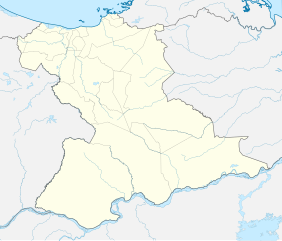
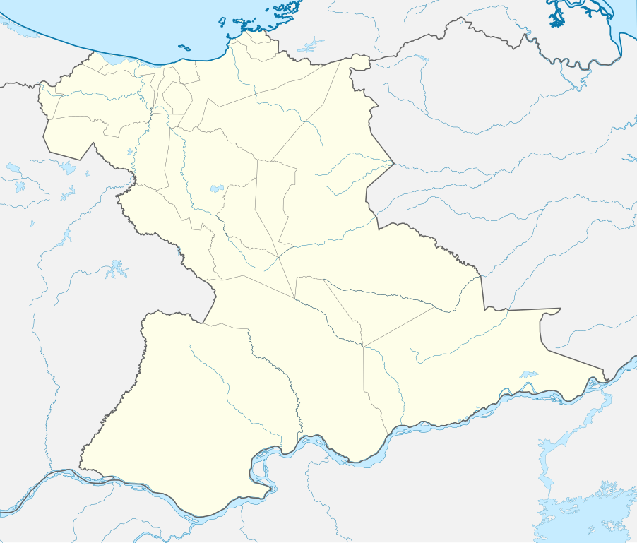
English: Location map of Anzoátegui
Equirectangular projection. Geographic limits of the map:
Español: Mapa localizador de Anzoátegui |
| Date | |
| Source | Own work |
| Author | Milenioscuro |
Licensing
edit
I, the copyright holder of this work, hereby publish it under the following license:
This file is licensed under the Creative Commons Attribution-Share Alike 4.0 International license.
- You are free:
- to share – to copy, distribute and transmit the work
- to remix – to adapt the work
- Under the following conditions:
- attribution – You must give appropriate credit, provide a link to the license, and indicate if changes were made. You may do so in any reasonable manner, but not in any way that suggests the licensor endorses you or your use.
- share alike – If you remix, transform, or build upon the material, you must distribute your contributions under the same or compatible license as the original.
File history
Click on a date/time to view the file as it appeared at that time.
| Date/Time | Thumbnail | Dimensions | User | Comment | |
|---|---|---|---|---|---|
| current | 03:19, 15 August 2017 | | 2,022 × 1,722 (562 KB) | Milenioscuro (talk | contribs) | capas |
| 13:21, 10 October 2015 |  | 2,022 × 1,722 (540 KB) | Milenioscuro (talk | contribs) | User created page with UploadWizard |
You cannot overwrite this file.
File usage on Commons
There are no pages that use this file.
File usage on other wikis
The following other wikis use this file:
- Usage on de.wikipedia.org
- Usage on eo.wikipedia.org
- Usage on es.wikipedia.org
- Barcelona (Venezuela)
- El Tigre
- Puerto La Cruz
- Anaco (Venezuela)
- San Tomé (Anzoátegui)
- Aragua de Barcelona
- Lechería (Venezuela)
- Guanta
- Puerto Píritu
- Clarines
- Refinería Puerto La Cruz
- Onoto (Anzoátegui)
- Cantaura
- Mapire
- Parroquia Santa Ana (Santa Ana)
- Vidoño
- San Mateo (Anzoátegui)
- Parroquia Valle de Guanape
- Pariaguán
- Zuata
- San José de Guanipa
- Caigua (Venezuela)
- San Miguel (Venezuela)
- Wikiproyecto:Ilustración/Taller de Cartografía/Realizaciones/América del Sur
- El Chaparro
- Boca de Uchire
- Parroquia Guanape
- Isla Paraíso (Venezuela)
- Plantilla:Mapa de localización de Anzoátegui
- Boca del Pao
- Catedral Nuestra Señora del Valle (El Tigre)
- Ciudad Orinoco (Anzoátegui)
- Nueva Barcelona del Cerro de Santo
- Gran Ciudad De El Tigre
- Usage on www.wikidata.org