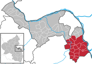
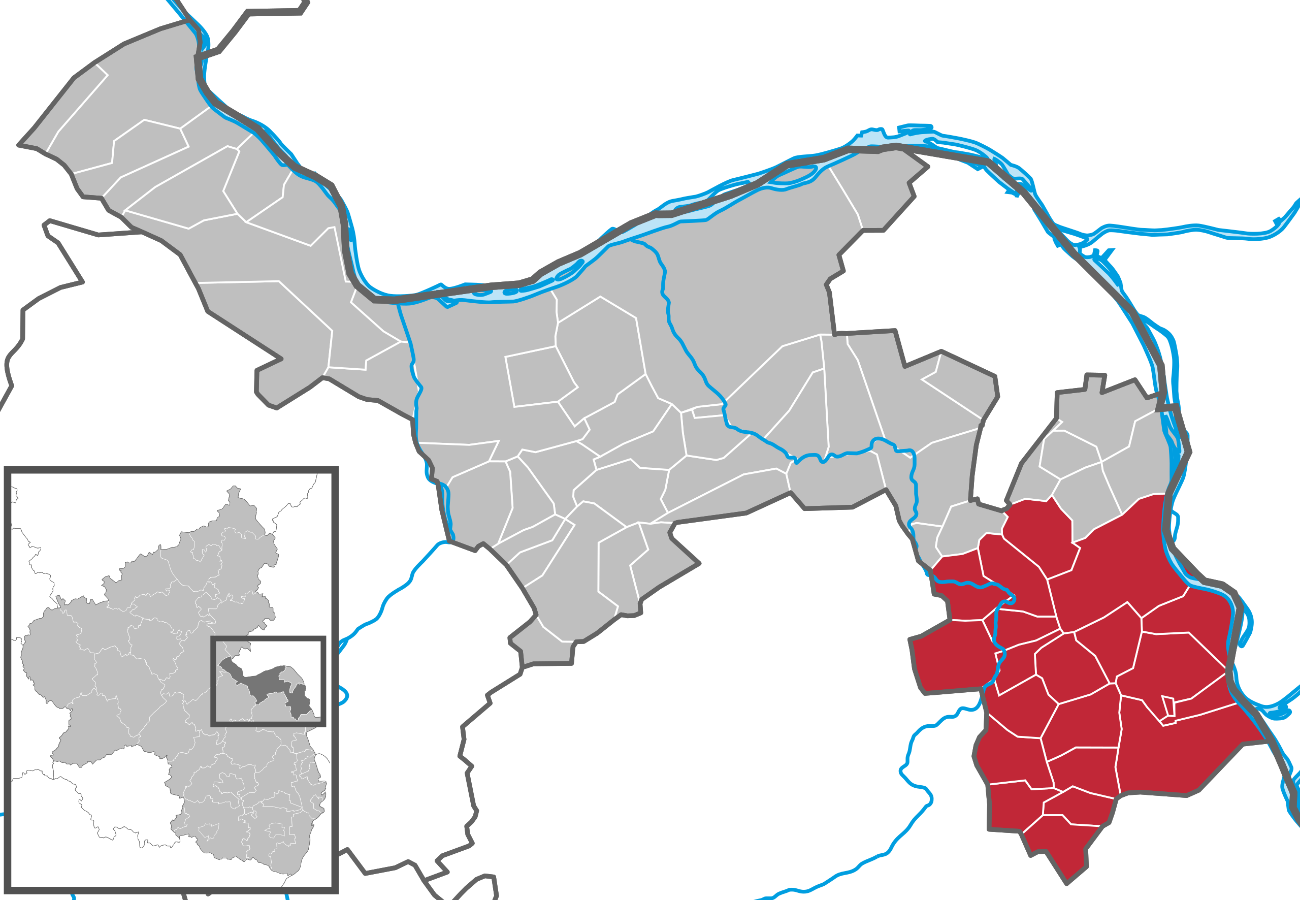
File:Verbandsgemeinde Rhein-Selz in MZ.svg

Size of this PNG preview of this SVG file: 349 × 241 pixels. Other resolutions: 320 × 221 pixels | 640 × 442 pixels | 1,024 × 707 pixels | 1,280 × 884 pixels | 2,560 × 1,768 pixels.
Original file (SVG file, nominally 349 × 241 pixels, file size: 224 KB)
Captions
Captions
Add a one-line explanation of what this file represents
Summary edit
| Description |
|
||||||||||||||||||||||||
| Date | |||||||||||||||||||||||||
| Source | File:Verbandsgemeinde Nierstein-Oppenheim in MZ.svg by Hagar66 | ||||||||||||||||||||||||
| Author | NordNordWest based on work by Hagar66 and TUBS | ||||||||||||||||||||||||
| Other versions | See also Locator maps of municipalities in Landkreis Mainz-Bingen |
Licensing edit
NordNordWest, the copyright holder of this work, hereby publishes it under the following license:
This file is licensed under the Creative Commons Attribution-Share Alike 3.0 Unported license.
Attribution: NordNordWest
- You are free:
- to share – to copy, distribute and transmit the work
- to remix – to adapt the work
- Under the following conditions:
- attribution – You must give appropriate credit, provide a link to the license, and indicate if changes were made. You may do so in any reasonable manner, but not in any way that suggests the licensor endorses you or your use.
- share alike – If you remix, transform, or build upon the material, you must distribute your contributions under the same or compatible license as the original.
File history
Click on a date/time to view the file as it appeared at that time.
| Date/Time | Thumbnail | Dimensions | User | Comment | |
|---|---|---|---|---|---|
| current | 16:29, 30 June 2019 | | 349 × 241 (224 KB) | NordNordWest (talk | contribs) | upd |
| 18:18, 30 January 2014 |  | 349 × 241 (234 KB) | NordNordWest (talk | contribs) | {{Information |Description= {{DeLocMaps |mun=Verbandsgemeinde Rhein-Selz |munlink= |lk=Landkreis Mainz-Bingen |land=Rheinland-Pfalz |enlk=District of Mainz-Bingen |enlklink=Landkreis Mainz-Bingen |frlk=l'Arrondissement de Mainz-Bingen |frlklink=Arrondi... |
You cannot overwrite this file.
File usage on Commons
The following 3 pages use this file:
File usage on other wikis
The following other wikis use this file:
- Usage on de.wikipedia.org
- Usage on eo.wikipedia.org
- Usage on it.wikipedia.org
- Usage on pl.wikipedia.org
- Usage on www.wikidata.org
- Usage on zh-min-nan.wikipedia.org