File:Vietnam DMZ 2.jpg

Size of this preview: 800 × 481 pixels. Other resolutions: 320 × 192 pixels | 640 × 385 pixels | 1,024 × 615 pixels | 1,280 × 769 pixels | 2,560 × 1,538 pixels | 3,588 × 2,156 pixels.
Original file (3,588 × 2,156 pixels, file size: 1.5 MB, MIME type: image/jpeg)
Captions
Captions
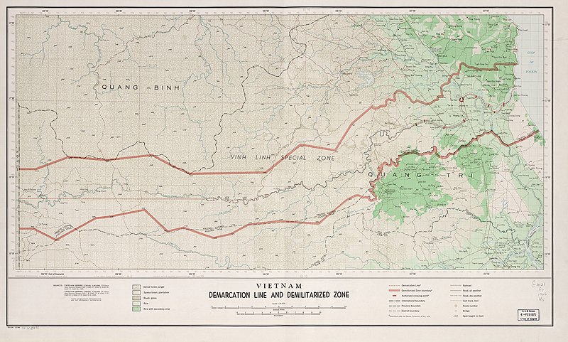
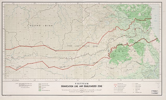
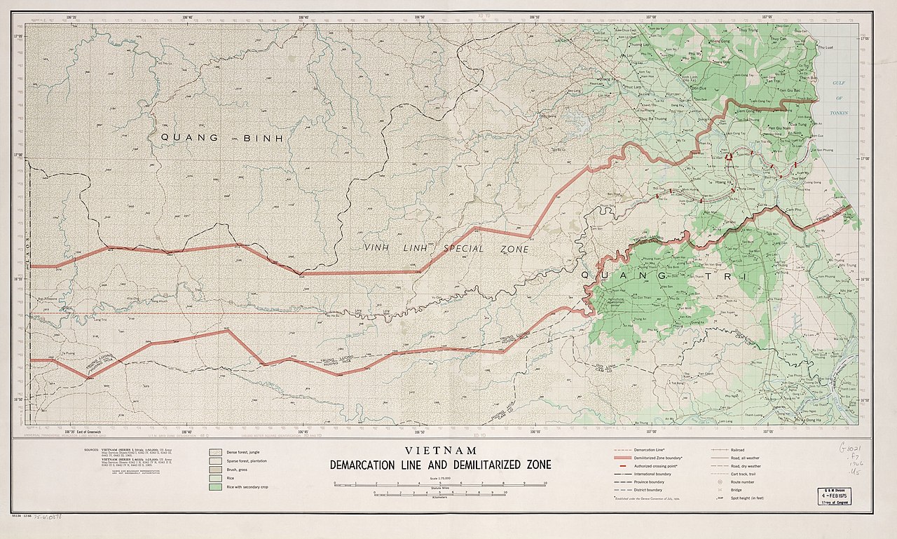
Map of the Vietnam DMZ
Summary
edit
| Description |
English: Map of the Vietnam demarcation line and demilitarized zone as of December 1966, United States. Central Intelligence Agency. |
| Date | |
| Source | https://www.loc.gov/item/75690898/ |
| Author | US department of State |
Licensing
edit
| This image is a work of a Central Intelligence Agency employee, taken or made as part of that person's official duties. As a Work of the United States Government, this image or media is in the public domain in the United States.
|

|
File history
Click on a date/time to view the file as it appeared at that time.
| Date/Time | Thumbnail | Dimensions | User | Comment | |
|---|---|---|---|---|---|
| current | 23:00, 19 September 2020 | | 3,588 × 2,156 (1.5 MB) | WisDom-UK (talk | contribs) | Uploaded a work by US department of State from https://www.loc.gov/maps/?q=vietnam+zone with UploadWizard |
You cannot overwrite this file.
File usage on Commons
The following page uses this file:
File usage on other wikis
The following other wikis use this file:
- Usage on en.wikipedia.org
- Usage on sl.wikipedia.org
- Usage on uz.wikipedia.org
- Usage on zh.wikipedia.org