File:View down rock pillars at Organ Pipes.jpg
Size of this preview: 400 × 600 pixels. Other resolutions: 160 × 240 pixels | 320 × 480 pixels | 512 × 768 pixels | 682 × 1,024 pixels | 1,365 × 2,048 pixels | 3,264 × 4,896 pixels.
Original file (3,264 × 4,896 pixels, file size: 6.53 MB, MIME type: image/jpeg)
Captions
Captions
Add a one-line explanation of what this file represents
Summary
edit
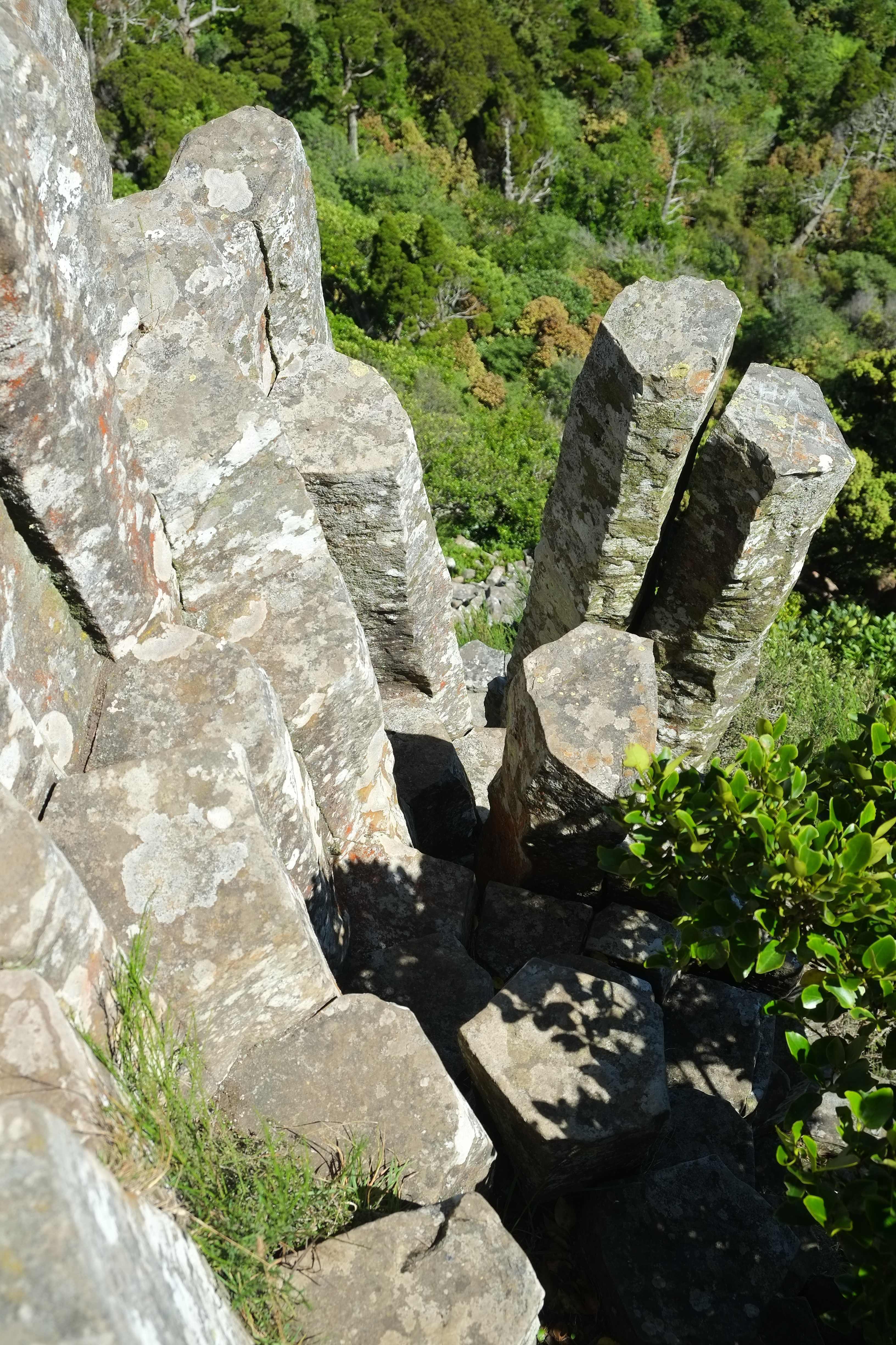
| Description | View down hexagonal rock pillars at Organ Pipes, Mt Holmes (small local peak on the slopes of Mt Cargill)[1] |
| Date | |
| Source | Own work |
| Author | Pseudopanax at English Wikipedia |
| Camera location | | View this and other nearby images on: OpenStreetMap |
|---|
Licensing
edit
| I, the copyright holder of this work, release this work into the public domain. This applies worldwide. In some countries this may not be legally possible; if so: I grant anyone the right to use this work for any purpose, without any conditions, unless such conditions are required by law. |
- ↑ ["http://www.topomap.co.nz/NZTopoMap/nz22282/Mount-Holmes/Otago" "Mount Holmes, Otago"]. "LINZ". Retrieved on 2023-09-28.
File history
Click on a date/time to view the file as it appeared at that time.
| Date/Time | Thumbnail | Dimensions | User | Comment | |
|---|---|---|---|---|---|
| current | 19:53, 27 September 2023 | | 3,264 × 4,896 (6.53 MB) | Pseudopanax (talk | contribs) | == {{int:filedesc}} == {{Information |Description=View down hexagonal rock pillars at Organ Pipes, Mt Holmes (small local peak on the slopes of Mt Cargill)<ref>{{cite web|url="http://www.topomap.co.nz/NZTopoMap/nz22282/Mount-Holmes/Otago"|title="Mount Holmes, Otago"|publisher="LINZ"|accessdate=2023-09-28}}</ref> |Source={{Own}} |Date=2023-02-13 |Author={{user at project|Pseudopanax|wikipedia|en}} }} {{location|45|48|29.8|S|170|34|0.8|E}} == {{int:license-... |
You cannot overwrite this file.
File usage on Commons
There are no pages that use this file.