File:View from Lower Table Rock 2.jpg

Size of this preview: 800 × 169 pixels. Other resolutions: 320 × 68 pixels | 640 × 135 pixels | 1,024 × 216 pixels | 1,280 × 270 pixels | 2,560 × 540 pixels | 12,593 × 2,658 pixels.
Original file (12,593 × 2,658 pixels, file size: 4.56 MB, MIME type: image/jpeg)
Captions
Captions
Add a one-line explanation of what this file represents
Summary
edit
| Camera location | | View this and other nearby images on: OpenStreetMap |
|---|
| Description |
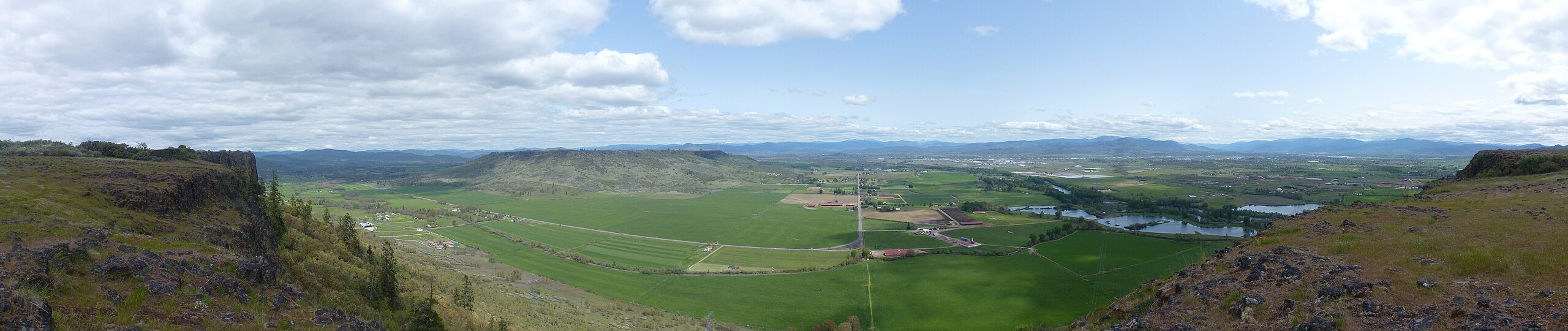
English: 180-degree panorama looking east from Lower Table Rock. |
| Date | |
| Source | Own work |
| Author | Little Mountain 5 |
Licensing
edit
I, the copyright holder of this work, hereby publish it under the following license:
This file is licensed under the Creative Commons Attribution-Share Alike 3.0 Unported license.
- You are free:
- to share – to copy, distribute and transmit the work
- to remix – to adapt the work
- Under the following conditions:
- attribution – You must give appropriate credit, provide a link to the license, and indicate if changes were made. You may do so in any reasonable manner, but not in any way that suggests the licensor endorses you or your use.
- share alike – If you remix, transform, or build upon the material, you must distribute your contributions under the same or compatible license as the original.
| Annotations | This image is annotated: View the annotations at Commons |
File history
Click on a date/time to view the file as it appeared at that time.
| Date/Time | Thumbnail | Dimensions | User | Comment | |
|---|---|---|---|---|---|
| current | 15:08, 13 June 2012 | 12,593 × 2,658 (4.56 MB) | Little Mountain 5 (talk | contribs) |
You cannot overwrite this file.
File usage on Commons
The following page uses this file:
File usage on other wikis
The following other wikis use this file:
- Usage on en.wikipedia.org