File:View from the outcropping - panoramio (1).jpg

Size of this preview: 800 × 452 pixels. Other resolutions: 320 × 181 pixels | 640 × 362 pixels | 1,024 × 579 pixels | 1,280 × 724 pixels | 2,688 × 1,520 pixels.
Original file (2,688 × 1,520 pixels, file size: 1.12 MB, MIME type: image/jpeg)
Captions
Captions
Add a one-line explanation of what this file represents
Summary edit
.jpg&action=edit§ion=1)
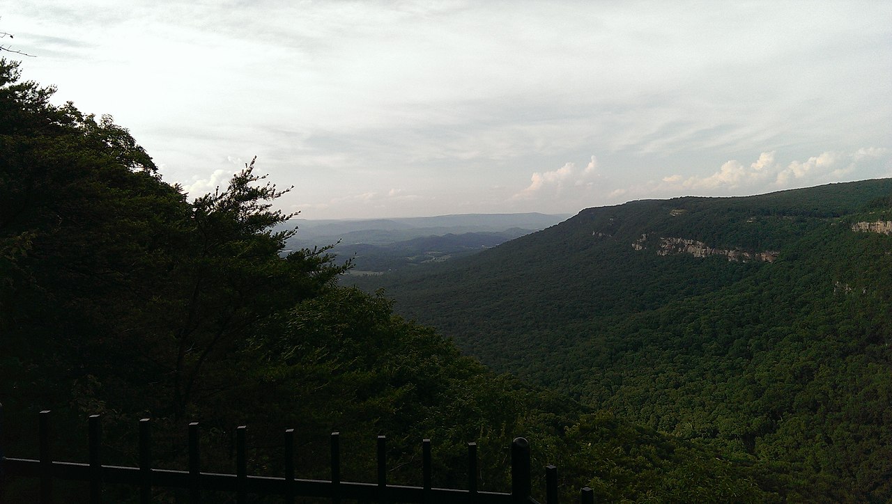
| Description | View from the outcropping | ||
| Date | Taken on 6 June 2014 | ||
| Source | https://web.archive.org/web/20161029061252/http://www.panoramio.com/photo/108485979 | ||
| Author | Allen Lyons | ||
| Permission (Reusing this file) |
This file is licensed under the Creative Commons Attribution 3.0 Unported license. Attribution: Allen Lyons
|
||
| Tags (from Panoramio photo page) | Dade County, Cloudland Canyon |
| Camera location | | View this and other nearby images on: OpenStreetMap |
|---|
.jpg¶ms=034.843826_N_-085.481918_E_globe:Earth_type:camera_source:Panoramio_&language=en)
File history
Click on a date/time to view the file as it appeared at that time.
| Date/Time | Thumbnail | Dimensions | User | Comment | |
|---|---|---|---|---|---|
| current | 23:46, 11 April 2017 | | 2,688 × 1,520 (1.12 MB) | Panoramio upload bot (talk | contribs) | == {{int:filedesc}} == {{Information |description=View from the outcropping |date={{Taken on|2014-06-06}} |source=http://www.panoramio.com/photo/108485979 |author=[http://www.panoramio.com/user/4847496?with_photo_id=108485979 Allen Lyons] |permission={... |
You cannot overwrite this file.
File usage on Commons
There are no pages that use this file.
.jpg&oldid=660383341)