File:View of ship from top of St. Thomas - panoramio (3) (cropped to Hessel Island).jpg
Size of this preview: 800 × 400 pixels. Other resolutions: 320 × 160 pixels | 640 × 320 pixels | 1,024 × 512 pixels | 1,280 × 640 pixels | 2,200 × 1,100 pixels.
Original file (2,200 × 1,100 pixels, file size: 552 KB, MIME type: image/jpeg)
Captions
Captions
Add a one-line explanation of what this file represents
Summary
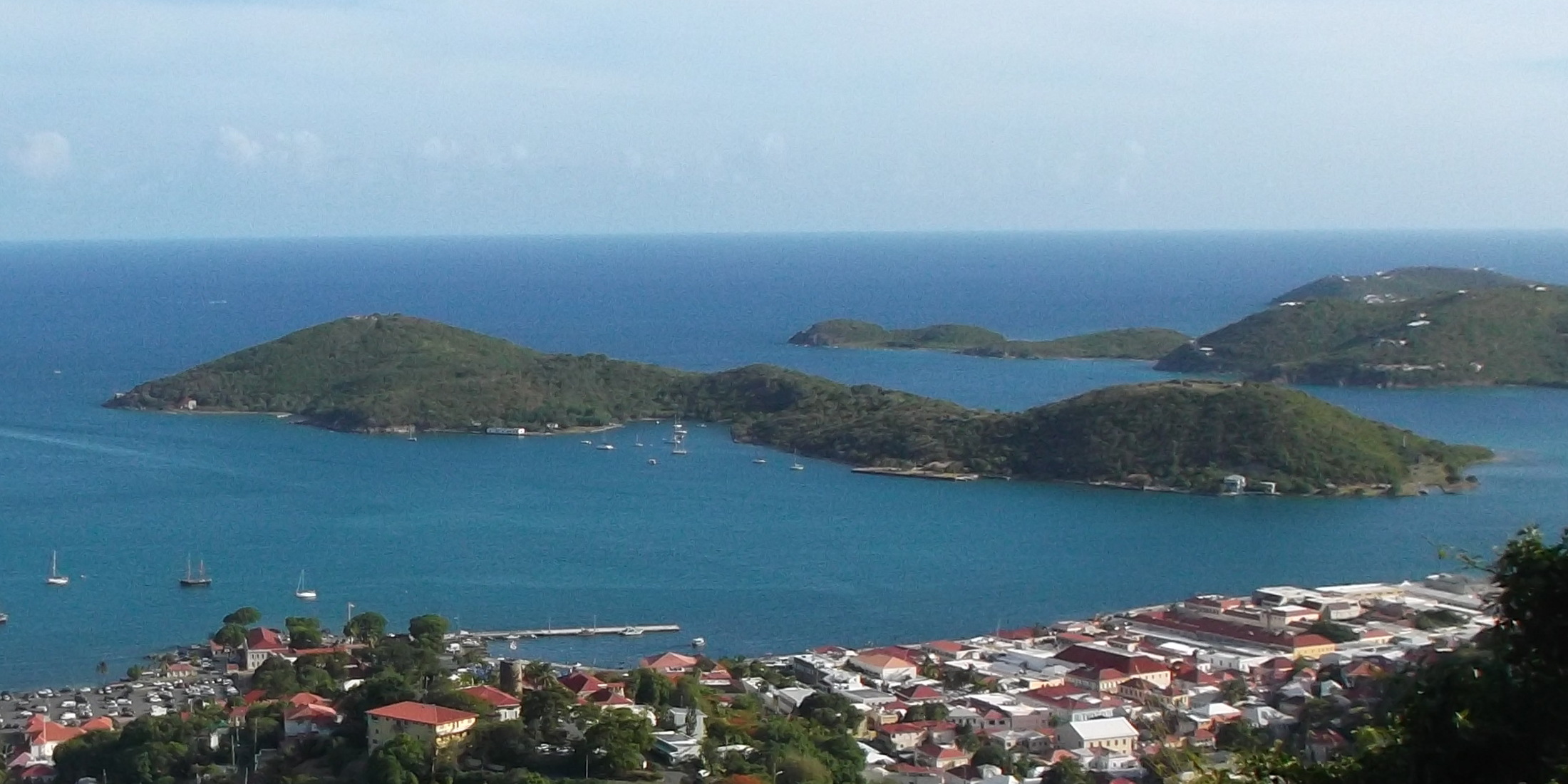
edit| Description | View of ship from top of St. Thomas |
| Date | Taken on 14 July 2014 |
| Source | https://web.archive.org/web/20161101182539/http://www.panoramio.com/photo/117724485 |
| Author | socaltraveler |
| Permission (Reusing this file) |
This file is licensed under the Creative Commons Attribution-Share Alike 3.0 Unported license. Attribution: socaltraveler
|
| Other versions | |
| Panoramio Tags | Northside |
.jpg)
_(cropped_to_Hessel_Island).jpg&action=edit§ion=1)
| Camera location | | View this and other nearby images on: OpenStreetMap |
|---|
_(cropped_to_Hessel_Island).jpg¶ms=018.350030_N_-064.927102_E_globe:Earth_type:camera_source:Panoramio_&language=en)
File history
Click on a date/time to view the file as it appeared at that time.
| Date/Time | Thumbnail | Dimensions | User | Comment | |
|---|---|---|---|---|---|
| current | 01:52, 22 December 2022 | | 2,200 × 1,100 (552 KB) | Argo Navis (talk | contribs) | File:View of ship from top of St. Thomas - panoramio (3).jpg cropped 52 % horizontally, 68 % vertically, rotated 1° using CropTool with precise mode. |
You cannot overwrite this file.
File usage on Commons
The following page uses this file:
_(cropped_to_Hessel_Island).jpg&oldid=718628512)