File:View towards Sgurr nan Coireachan - geograph.org.uk - 1006471.jpg
No higher resolution available.
View_towards_Sgurr_nan_Coireachan_-_geograph.org.uk_-_1006471.jpg (800 × 600 pixels, file size: 227 KB, MIME type: image/jpeg)
Captions
Captions
Add a one-line explanation of what this file represents
Summary edit
| Description |
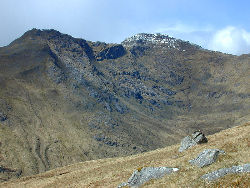
English: View towards Sgurr nan Coireachan Taken from just above where the steep gradient of the Druim Coire a' Bheithe eases. |
| Date | |
| Source | From geograph.org.uk |
| Author | Nigel Brown |
| Attribution (required by the license) | Nigel Brown / View towards Sgurr nan Coireachan / |
| Camera location | | View this and other nearby images on: OpenStreetMap |
|---|
_heading:292.00&language=en)
| Object location | | View this and other nearby images on: OpenStreetMap |
|---|
_heading:292.00&language=en)
Licensing edit

|
This image was taken from the Geograph project collection. See this photograph's page on the Geograph website for the photographer's contact details. The copyright on this image is owned by Nigel Brown and is licensed for reuse under the Creative Commons Attribution-ShareAlike 2.0 license.
|
This file is licensed under the Creative Commons Attribution-Share Alike 2.0 Generic license.
Attribution: Nigel Brown
- You are free:
- to share – to copy, distribute and transmit the work
- to remix – to adapt the work
- Under the following conditions:
- attribution – You must give appropriate credit, provide a link to the license, and indicate if changes were made. You may do so in any reasonable manner, but not in any way that suggests the licensor endorses you or your use.
- share alike – If you remix, transform, or build upon the material, you must distribute your contributions under the same or compatible license as the original.
File history
Click on a date/time to view the file as it appeared at that time.
| Date/Time | Thumbnail | Dimensions | User | Comment | |
|---|---|---|---|---|---|
| current | 11:54, 2 September 2017 | | 800 × 600 (227 KB) | Geograph Update Bot (talk | contribs) | Higher-resolution version from Geograph. |
| 09:01, 23 February 2011 |  | 640 × 480 (123 KB) | GeographBot (talk | contribs) | == {{int:filedesc}} == {{Information |description={{en|1=View towards Sgurr nan Coireachan Taken from just above where the steep gradient of the Druim Coire a' Bheithe eases.}} |date=2002-05-03 |source=From [http://www.geograph.org.uk/photo/1006471 geogra |
You cannot overwrite this file.
File usage on Commons
There are no pages that use this file.
File usage on other wikis
The following other wikis use this file:
- Usage on de.wikipedia.org