File:Virginia's 7th State Senate district.svg

Size of this PNG preview of this SVG file: 350 × 300 pixels. Other resolutions: 280 × 240 pixels | 560 × 480 pixels | 896 × 768 pixels | 1,195 × 1,024 pixels | 2,389 × 2,048 pixels.
Original file (SVG file, nominally 350 × 300 pixels, file size: 1.81 MB)
Captions
Captions
Virginia's 7th State Senate district
Summary edit
| Description |
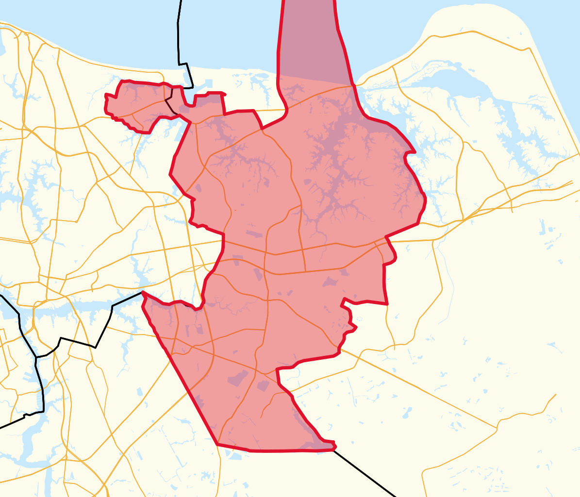
English: Detailed map of Virginia's 7th State Senate district, complete with up-to-date detailed Census TIGER water lines, municipal/county borders, major roads, and the district itself. |
| Date | |
| Source | Own work |
| Author | Talleyrand6 |
Licensing edit
I, the copyright holder of this work, hereby publish it under the following license:
This file is licensed under the Creative Commons Attribution-Share Alike 4.0 International license.
- You are free:
- to share – to copy, distribute and transmit the work
- to remix – to adapt the work
- Under the following conditions:
- attribution – You must give appropriate credit, provide a link to the license, and indicate if changes were made. You may do so in any reasonable manner, but not in any way that suggests the licensor endorses you or your use.
- share alike – If you remix, transform, or build upon the material, you must distribute your contributions under the same or compatible license as the original.
File history
Click on a date/time to view the file as it appeared at that time.
| Date/Time | Thumbnail | Dimensions | User | Comment | |
|---|---|---|---|---|---|
| current | 21:29, 11 January 2023 | | 350 × 300 (1.81 MB) | Talleyrand6 (talk | contribs) | Uploaded own work with UploadWizard |
You cannot overwrite this file.
File usage on Commons
The following 2 pages use this file:
File usage on other wikis
The following other wikis use this file:
- Usage on en.wikipedia.org