File:Vischer 1667 - Das Schwartzviertl.jpg

Size of this preview: 622 × 600 pixels. Other resolutions: 249 × 240 pixels | 498 × 480 pixels | 797 × 768 pixels | 1,062 × 1,024 pixels | 2,075 × 2,000 pixels.
Original file (2,075 × 2,000 pixels, file size: 5.11 MB, MIME type: image/jpeg)
Captions
Captions
Add a one-line explanation of what this file represents
Summary edit
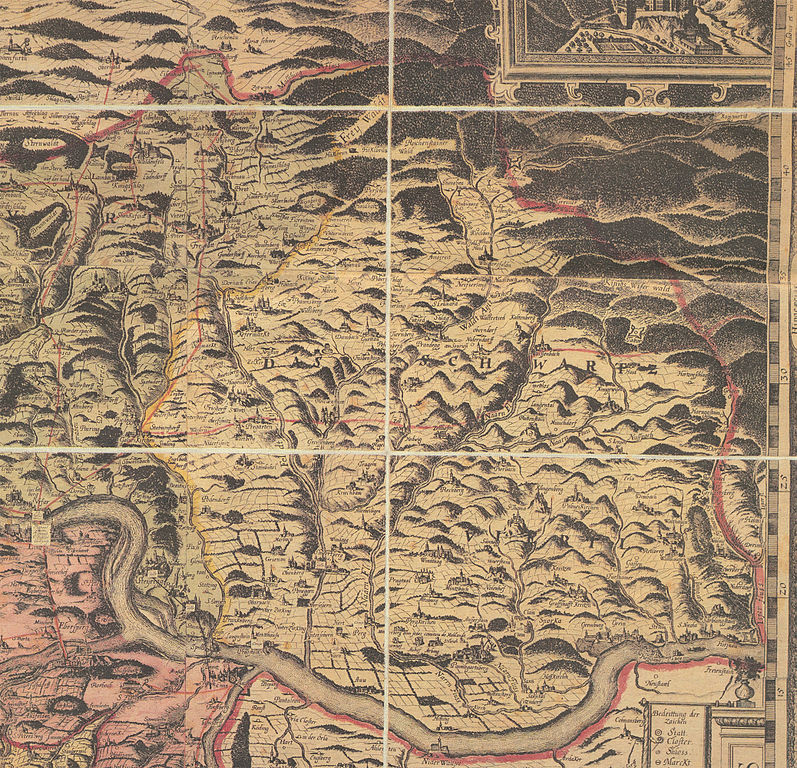
| Description |
Deutsch: Das Schwartzviertl. Etwas heller dargestellter Bereich zwischen der gelben und rosa Umrandung. Ausschnitt aus der Karte Archiducatus Austriae Superioris Descriptio facta Anno 1667. Kartograf: Georg Matthäus Vischer. Aktuelle Bezeichnung des Gebietes: Unteres Mühlviertel in Oberösterreich (Österreich) |
||||||||||||||||||||
| Date | (Nachdruck 2005) | ||||||||||||||||||||
| Source | Beilage zum Reprint der Topographia Austriae superioris modernnae, Wien: Archiv Verlag 2005 | ||||||||||||||||||||
| Author |
|
||||||||||||||||||||

Licensing edit
|
This work is in the public domain in its country of origin and other countries and areas where the copyright term is the author's life plus 100 years or fewer. | |
| This file has been identified as being free of known restrictions under copyright law, including all related and neighboring rights. | |
File history
Click on a date/time to view the file as it appeared at that time.
| Date/Time | Thumbnail | Dimensions | User | Comment | |
|---|---|---|---|---|---|
| current | 20:12, 22 January 2014 | | 2,075 × 2,000 (5.11 MB) | Lewenstein (talk | contribs) | == {{int:filedesc}} == {{Information |Description={{de|1=''Das Schwartzviertl'' (Machlandviertel). Ausschnitt aus der Karte ''[[:de:Archiducatus Austriae Superioris Descriptio facta Anno 1667|Archiducatus Austriae Superioris Des... |
You cannot overwrite this file.
File usage on Commons
There are no pages that use this file.
File usage on other wikis
The following other wikis use this file:
- Usage on de.wikipedia.org
- Usage on la.wikipedia.org