File:Vorderer Vogelsberg von oberhalb Betziesdorfer Hoehe 2024-05-05 (Elop).jpg

Size of this preview: 800 × 456 pixels. Other resolutions: 320 × 183 pixels | 640 × 365 pixels | 1,024 × 584 pixels | 1,280 × 730 pixels | 3,568 × 2,035 pixels.
Original file (3,568 × 2,035 pixels, file size: 995 KB, MIME type: image/jpeg)
Captions
Captions
Add a one-line explanation of what this file represents
Summary edit
.jpg&action=edit§ion=1)
| Description |
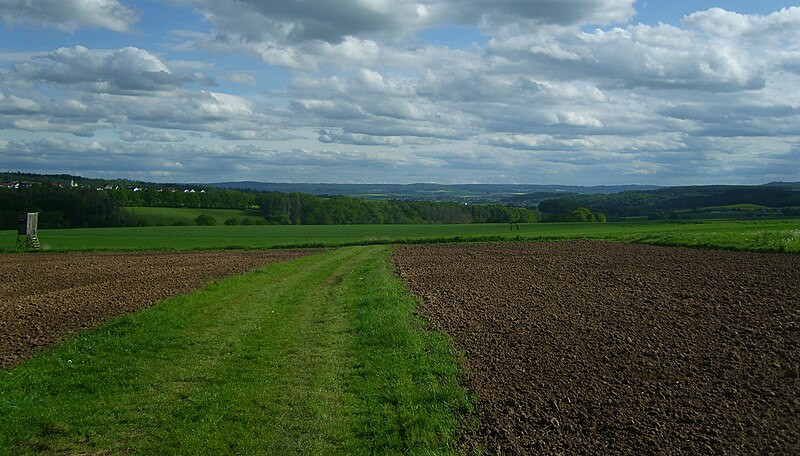
Deutsch: Der Vordere Vogelsberg und das Amöneburger Becken von oberhalb der Betziesdorfer Höhe aus, in nächster Nähe zum Kleinen Burgwald. Links Sindersfeld, dahinter der Gipfelbereich der Amöneburg; nach rechts folgt der Vordere Vogelsberg mit Mardorfer Kuppe (407 m), Windpark Roßdorf, Rauischholzhausen hinter dem Kleinseelheimer Kirschberg (239 m, Rapsfeld), der Sennberg (383 m) links hinter Großseelheim links hinter Schönbach; der Leidenhöfer Kopf (393 m), rechts davor die Hinteren Lahnberge (bis 284 m), rechts dahinter der Stempel (365 m) in den (Hohen) Lahnbergen, im Bildvordergrund hier der de:Nebelsberg (264 m), davor Betziesdorf. |
| Date | |
| Source | Own work |
| Author | User:Elop |
| Other versions |
.jpg) |
| Camera location | | View this and other nearby images on: OpenStreetMap |
|---|
.jpg¶ms=050.881420_N_0008.859620_E_globe:Earth_type:camera__&language=en)
Licensing edit
.jpg&action=edit§ion=2)
I, the copyright holder of this work, hereby publish it under the following licenses:

|
Permission is granted to copy, distribute and/or modify this document under the terms of the GNU Free Documentation License, Version 1.2 or any later version published by the Free Software Foundation; with no Invariant Sections, no Front-Cover Texts, and no Back-Cover Texts. A copy of the license is included in the section entitled GNU Free Documentation License. |
This file is licensed under the Creative Commons Attribution-Share Alike 3.0 Unported license.
- You are free:
- to share – to copy, distribute and transmit the work
- to remix – to adapt the work
- Under the following conditions:
- attribution – You must give appropriate credit, provide a link to the license, and indicate if changes were made. You may do so in any reasonable manner, but not in any way that suggests the licensor endorses you or your use.
- share alike – If you remix, transform, or build upon the material, you must distribute your contributions under the same or compatible license as the original.
You may select the license of your choice.
File history
Click on a date/time to view the file as it appeared at that time.
| Date/Time | Thumbnail | Dimensions | User | Comment | |
|---|---|---|---|---|---|
| current | 13:27, 6 May 2024 | | 3,568 × 2,035 (995 KB) | Elop (talk | contribs) | == {{int:filedesc}} == {{Information |Description={{de|1= Der Vordere Vogelsberg und das de:Amöneburger Becken von oberhalb der ''Betziesdorfer Höhe'' aus, in nächster Nähe zum Kleinen Burgwald.<br /> Links de:Sindersfeld, dahinter der Gipfelbereich der Amöneburg; nach rechts folgt der Vordere Vogelsberg mit de:Mardorfer Kuppe (407 m), ''Windpark Roßdorf'', [[:de:Rauisch... |
You cannot overwrite this file.
File usage on Commons
The following 2 pages use this file:
.jpg&oldid=876242959)