File:Vung Tau OpenStreetMap 2012 scale=50000.svg

Size of this PNG preview of this SVG file: 800 × 581 pixels. Other resolutions: 320 × 232 pixels | 640 × 464 pixels | 1,024 × 743 pixels | 1,280 × 929 pixels | 2,560 × 1,858 pixels | 1,440 × 1,045 pixels.
Original file (SVG file, nominally 1,440 × 1,045 pixels, file size: 828 KB)
Captions
Captions
Add a one-line explanation of what this file represents
Summary
edit
| Description |
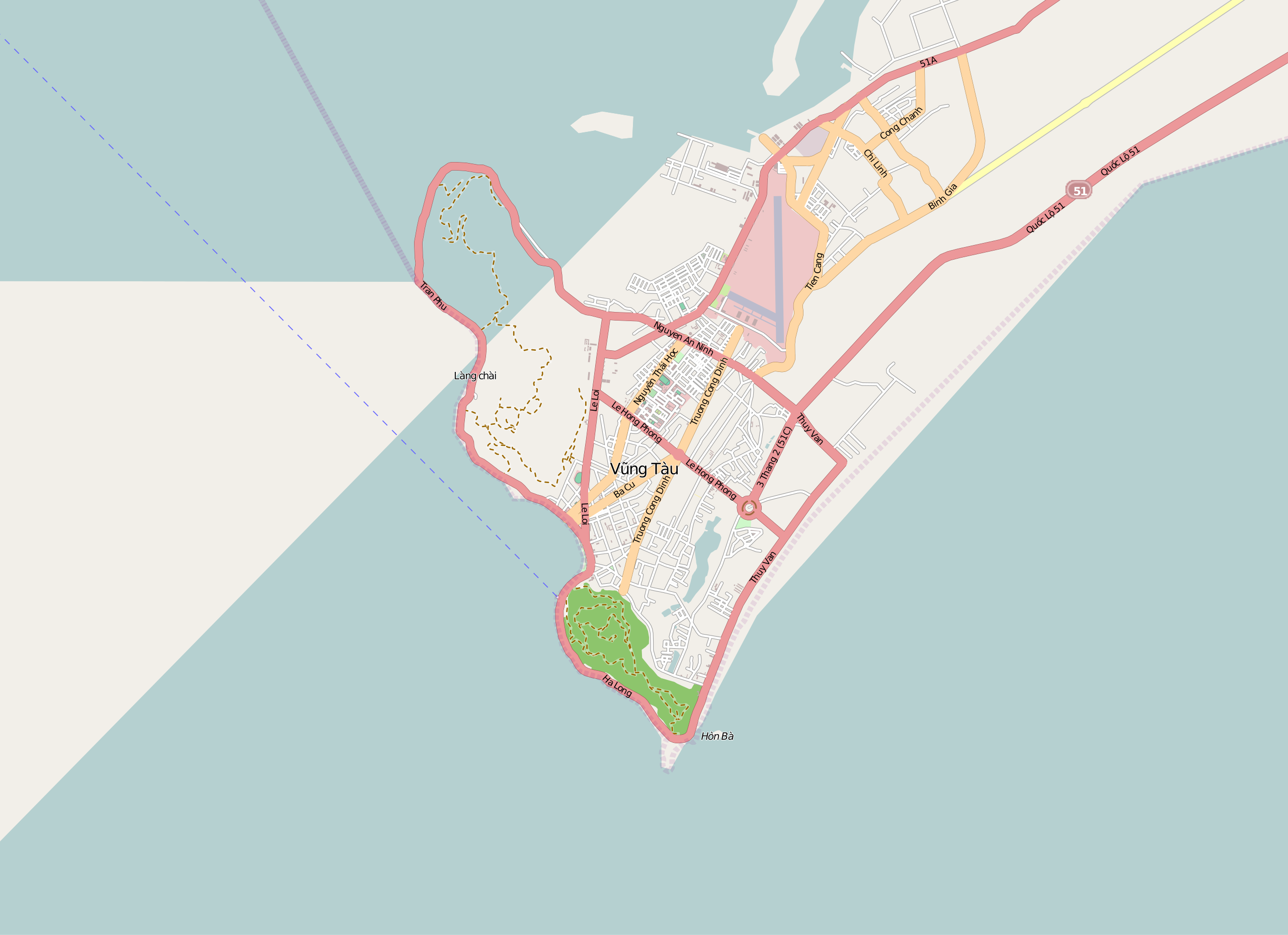
English: Street map of Vung Tau 2012.
Geographic limits of the map: * N: 10.4052 * S: 10.3017 * W: 107.0085 * E: 107.1535Scale: 1 : 50000 |
| Date | |
| Source | OpenStreetMap |
| Author | OpenStreetMap contributors |
Licensing
edit
This file is licensed under the Creative Commons Attribution-Share Alike 2.5 Generic license.
- You are free:
- to share – to copy, distribute and transmit the work
- to remix – to adapt the work
- Under the following conditions:
- attribution – You must give appropriate credit, provide a link to the license, and indicate if changes were made. You may do so in any reasonable manner, but not in any way that suggests the licensor endorses you or your use.
- share alike – If you remix, transform, or build upon the material, you must distribute your contributions under the same or compatible license as the original.
File history
Click on a date/time to view the file as it appeared at that time.
| Date/Time | Thumbnail | Dimensions | User | Comment | |
|---|---|---|---|---|---|
| current | 13:42, 12 January 2012 | | 1,440 × 1,045 (828 KB) | Paris 16 (talk | contribs) |
You cannot overwrite this file.
File usage on Commons
There are no pages that use this file.
File usage on other wikis
The following other wikis use this file:
- Usage on ja.wikipedia.org