File:Vyborg North.jpg
Size of this preview: 800 × 533 pixels. Other resolutions: 320 × 213 pixels | 640 × 426 pixels | 1,024 × 682 pixels | 1,280 × 853 pixels | 3,000 × 1,999 pixels.
Original file (3,000 × 1,999 pixels, file size: 2.55 MB, MIME type: image/jpeg)
Captions
Captions
Add a one-line explanation of what this file represents
Summary
edit
| Description |
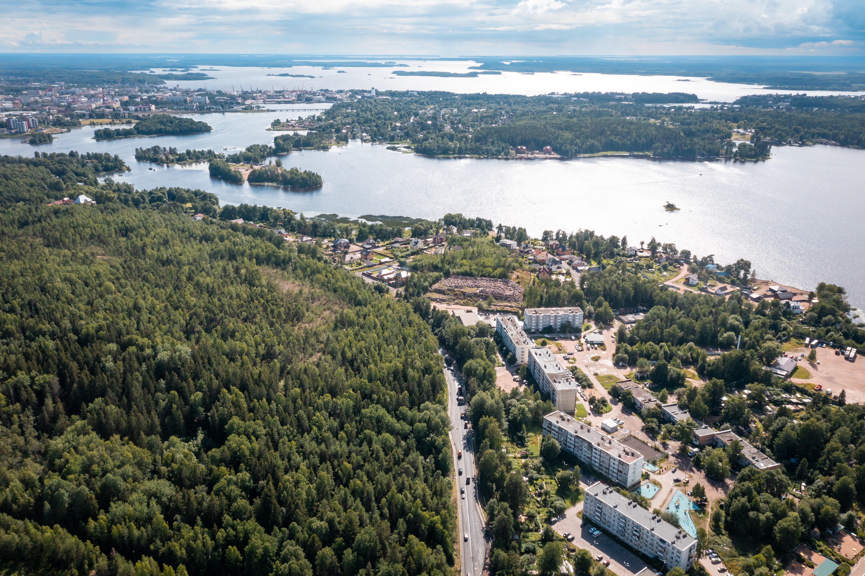
Français : Vue aérienne dans le nord de Vyborg avec la route 41K-182 au milieu. |
| Date | |
| Source | https://bkdrf.ru/News/Read/remont-podezda-k-vyborgu-v-lenoblasti-vyshel-na-finishnuyu-pryamuyu |
| Author | ФГБУ "ИНФОРМАВТОДОР" |
| Camera location | | View this and other nearby images on: OpenStreetMap |
|---|
Licensing
edit

|
Это произведение взято с сайта (bkdrf.ru) Национального проекта «Безопасные и качественные автомобильные дороги»
и защищено авторским правом.
Оно распространяется на условиях лицензии Creative Commons Attribution 4.0. Коротко: Вы можете без ограничений распространять данное произведение, изменять и использовать его в любых (в том числе коммерческих) целях при условии обязательной ссылки на первоисточник.
|
This file is licensed under the Creative Commons Attribution 4.0 International license.
Attribution: bkdrf.ru
- You are free:
- to share – to copy, distribute and transmit the work
- to remix – to adapt the work
- Under the following conditions:
- attribution – You must give appropriate credit, provide a link to the license, and indicate if changes were made. You may do so in any reasonable manner, but not in any way that suggests the licensor endorses you or your use.
File history
Click on a date/time to view the file as it appeared at that time.
| Date/Time | Thumbnail | Dimensions | User | Comment | |
|---|---|---|---|---|---|
| current | 21:18, 20 January 2023 | | 3,000 × 1,999 (2.55 MB) | Lillian Rínkū (talk | contribs) | Uploaded a work by ФГБУ "ИНФОРМАВТОДОР" from https://bkdrf.ru/News/Read/remont-podezda-k-vyborgu-v-lenoblasti-vyshel-na-finishnuyu-pryamuyu with UploadWizard |
You cannot overwrite this file.
File usage on Commons
There are no pages that use this file.
File usage on other wikis
The following other wikis use this file:
- Usage on fr.wikipedia.org