File:Vysoka plan.jpg
Size of this preview: 450 × 600 pixels. Other resolutions: 180 × 240 pixels | 360 × 480 pixels | 825 × 1,100 pixels.
Original file (825 × 1,100 pixels, file size: 276 KB, MIME type: image/jpeg)
Captions
Captions
Add a one-line explanation of what this file represents
Summary
edit
| Description |
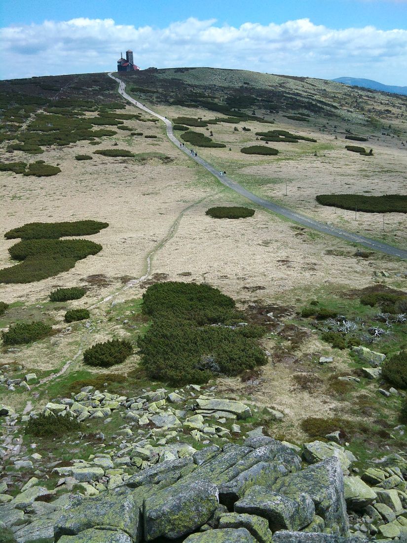
English: Vysoká pláň from Violík
Čeština: Vysoká pláň s vysílačem z Violíku
Deutsch: Vysoká pláň (Hochebene) vom Veilchenstein |
| Date | |
| Source | Own work |
| Author | Maoman |
| Camera location | | View this and other nearby images on: OpenStreetMap |
|---|
Licensing
edit
| I, the copyright holder of this work, release this work into the public domain. This applies worldwide. In some countries this may not be legally possible; if so: I grant anyone the right to use this work for any purpose, without any conditions, unless such conditions are required by law. |
File history
Click on a date/time to view the file as it appeared at that time.
| Date/Time | Thumbnail | Dimensions | User | Comment | |
|---|---|---|---|---|---|
| current | 19:04, 17 July 2010 | | 825 × 1,100 (276 KB) | Maoman (talk | contribs) | {{Information |Description={{en|1=Vysoká pláň from Violík}} {{cs|1=Vysoká pláň s vysílačem z Violíku}} |Source={{own}} |Author=Maoman |Date=2010-06-05 |Permission= |other_versions= }} Category:Karkonosze in Poland [[Category |
You cannot overwrite this file.
File usage on Commons
There are no pages that use this file.
File usage on other wikis
The following other wikis use this file:
- Usage on cs.wikipedia.org
- Usage on de.wikipedia.org
- Usage on en.wikipedia.org
- Usage on lld.wikipedia.org
- Usage on sl.wikipedia.org
- Usage on www.wikidata.org