File:Wörther Kreuz.png
Size of this preview: 800 × 581 pixels. Other resolutions: 320 × 232 pixels | 640 × 464 pixels | 1,024 × 743 pixels | 1,280 × 929 pixels | 1,520 × 1,103 pixels.
Original file (1,520 × 1,103 pixels, file size: 597 KB, MIME type: image/png)
Captions
Captions
Add a one-line explanation of what this file represents
Summary edit
| Description |
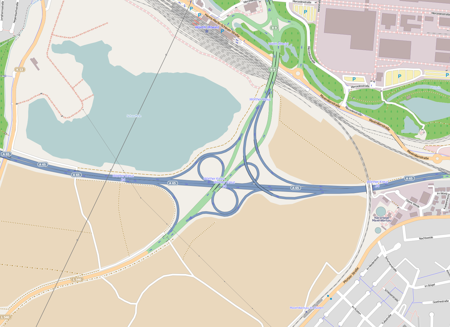
Deutsch: Lage des Wörther Kreuzes (A65/B10/B9/L540) bei Wörth. |
| Date | |
| Source | openstreetmap.org |
| Creator |
OpenStreetMap contributors |
| Permission (Reusing this file) |
OpenStreetMap data and maps are licensed under the Creative Commons Attribution-ShareAlike 2.0 license (CC-BY-SA 2.0). This file is licensed under the Creative Commons Attribution-Share Alike 2.0 Generic license.
|
| Georeferencing | If inappropriate please set warp_status = skip to hide. |
File history
Click on a date/time to view the file as it appeared at that time.
| Date/Time | Thumbnail | Dimensions | User | Comment | |
|---|---|---|---|---|---|
| current | 15:48, 24 March 2012 | | 1,520 × 1,103 (597 KB) | Bundesfestung Ulm (talk | contribs) | {{Information |Description ={{de|1=Lage des Wörther Kreuzes (A65/B10/B9/L540) bei Stuttgart.}} |Source =OpenStreetMap |Author =Heini Woldschläger |Date =2012-03-24 |Permission = |other_ver... |
You cannot overwrite this file.
File usage on Commons
There are no pages that use this file.
File usage on other wikis
The following other wikis use this file:
- Usage on de.wikipedia.org