File:Walk at the Dunes - panoramio.jpg

Size of this preview: 800 × 532 pixels. Other resolutions: 320 × 213 pixels | 640 × 426 pixels | 1,024 × 681 pixels | 1,280 × 852 pixels | 2,560 × 1,703 pixels | 4,081 × 2,715 pixels.
Original file (4,081 × 2,715 pixels, file size: 7.98 MB, MIME type: image/jpeg)
Captions
Captions
Add a one-line explanation of what this file represents
Summary edit
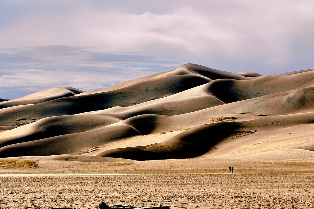
| Description | Walk at the Dunes | ||
| Date | Taken on 14 September 2009 | ||
| Source | https://web.archive.org/web/20161015035023/http://www.panoramio.com/photo/37473462 | ||
| Author | Doss Imaging | ||
| Permission (Reusing this file) |
This file is licensed under the Creative Commons Attribution 3.0 Unported license. Attribution: Doss Imaging
|
||
| Tags (from Panoramio photo page) | Alamosa County, Colorado, Great Sand Dunes |
| Camera location | | View this and other nearby images on: OpenStreetMap |
|---|

|
The categories of this image need checking. You can do so here.
|
File history
Click on a date/time to view the file as it appeared at that time.
| Date/Time | Thumbnail | Dimensions | User | Comment | |
|---|---|---|---|---|---|
| current | 18:54, 14 December 2016 | | 4,081 × 2,715 (7.98 MB) | Panoramio upload bot (talk | contribs) | == {{int:filedesc}} == {{Information |description=Walk at the Dunes |date={{Taken on|2009-09-14}} |source=http://www.panoramio.com/photo/37473462 |author=[http://www.panoramio.com/user/3973691?with_photo_id=37473462 Doss Imaging] |permission={{cc-by-3.... |
You cannot overwrite this file.
File usage on Commons
There are no pages that use this file.