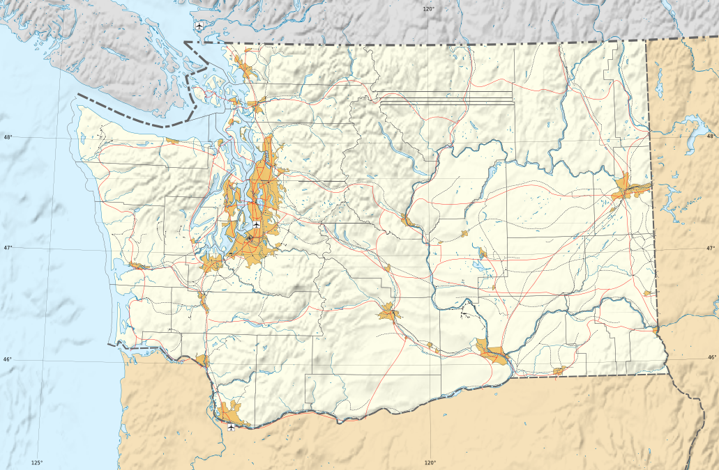
File:Washington administrative blank map.png
Size of this preview: 800 × 524 pixels. Other resolutions: 320 × 210 pixels | 640 × 419 pixels | 1,031 × 675 pixels.
Original file (1,031 × 675 pixels, file size: 742 KB, MIME type: image/png)
Captions
Captions
Add a one-line explanation of what this file represents
| Description |
Français : Carte administrative de l'état de Washington Deutsch: Verwaltungskarte von Washington English: Administrative map of Washington (state) Español: Mapa administrativo del estado de Washington Italiano: Carta amministrativa de Washington 日本語: ワシントン州の行政地図 Português: Carta da administração do estado do Washington |
||||
| Date | |||||
| Source |
English: Own work ;
Français : Création personnelle ;
|
||||
| Author | Bourrichon - fr:Bourrichon | ||||
| Permission (Reusing this file) |
I, the copyright holder of this work, hereby publish it under the following licenses:
This file is licensed under the Creative Commons Attribution-Share Alike 3.0 Unported, 2.5 Generic, 2.0 Generic and 1.0 Generic license.
You may select the license of your choice. |
||||
| Other versions |
[]
|


File history
Click on a date/time to view the file as it appeared at that time.
| Date/Time | Thumbnail | Dimensions | User | Comment | |
|---|---|---|---|---|---|
| current | 10:31, 13 May 2010 | | 1,031 × 675 (742 KB) | Bourrichon (talk | contribs) | {{Information |Description= {{fr|Carte administrative de l'état de Washington}}{{de|Verwaltungskarte zum Washington}}{{en|Administrative map of Washington (state)}}{{es|Mapa |
You cannot overwrite this file.
File usage on Commons
The following 10 pages use this file:
- File:Washington administrative blank map.png
- File:Washington administrative map-fr.svg
- File:Washington areas Columbia map-fr.svg
- File:Washington areas map-fr.svg
- File:Washington municipal corporation topographic map-fr.svg
- File:Washington topographic blank map-2.png
- File:Washington topographic blank map.png
- File:Washington topographic map-fr.png
- File:Washington topographic map-fr.svg
- Template:Other versions/Washington map