File:Watermill. Lans-en-Vercors. Le Peuil. 0.JPG
Size of this preview: 800 × 600 pixels. Other resolutions: 320 × 240 pixels | 640 × 480 pixels | 1,024 × 768 pixels | 1,280 × 960 pixels | 2,560 × 1,920 pixels | 3,648 × 2,736 pixels.
Original file (3,648 × 2,736 pixels, file size: 1.68 MB, MIME type: image/jpeg)
Captions
Captions
Add a one-line explanation of what this file represents
Summary
edit| Author |
| |||||
| Attribution (required by the license) | © François Guinard / Wikimedia Commons / | |||||
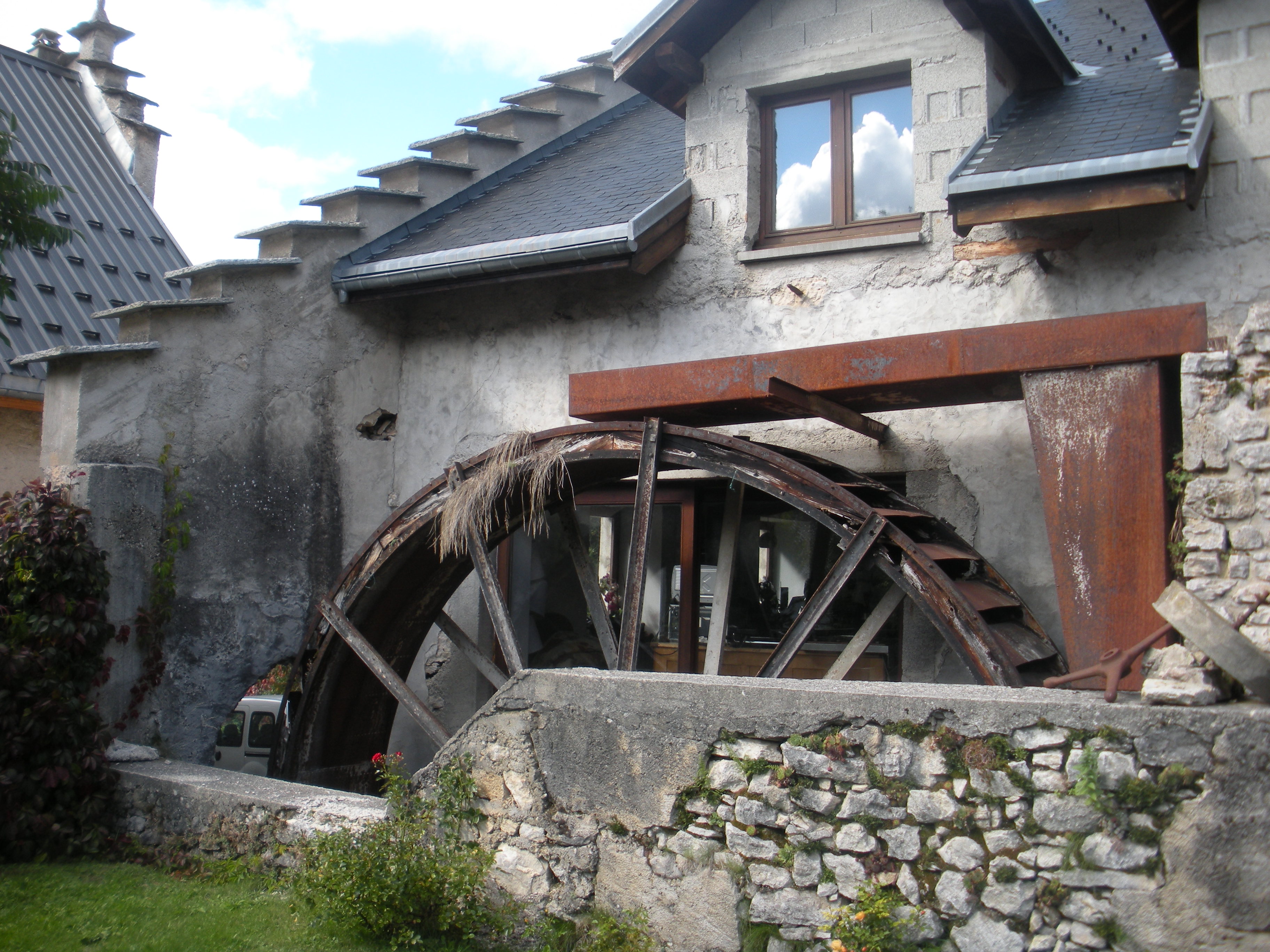
| Description |
Watermill. On the front there is a wheel. |
|||||
| Date | 19 September 2015, 15:56 | |||||
| Place of creation | le Peuil, Lans-en-Vercors, Isère, Rhône-Alpes, France | |||||
| Notes |
There is two mills. It is the south front of the moulin blanc [white mill] (who became the moulin d'en bas [low mill]). Image with the contribution of the owner. |
|||||
| References | Alain Blaise; Noëllie Ortega, Damien Sylvestre-Pottin et Généalogie et histoire locale (collectif) (2006) "La Bourne au fil de l’eau, au cours des âges ; le temps des moulins" in Les cahiers du Peuil (30 cm), 6, Montbonnot, pp. 42−43 | |||||
| Source/Photographer | Own work | |||||
| Permission (Reusing this file) |
This file is licensed under the Creative Commons Attribution-Share Alike 4.0 International license.
|
|||||
| Other versions |
|
|||||


| Object location | | View this and other nearby images on: OpenStreetMap |
|---|
File history
Click on a date/time to view the file as it appeared at that time.
| Date/Time | Thumbnail | Dimensions | User | Comment | |
|---|---|---|---|---|---|
| current | 16:07, 25 November 2015 | | 3,648 × 2,736 (1.68 MB) | 6PO (talk | contribs) | User created page with UploadWizard |
You cannot overwrite this file.
File usage on Commons
The following 2 pages use this file:
File usage on other wikis
The following other wikis use this file:
- Usage on fr.wikipedia.org