File:Weg zur Martellhütte - panoramio.jpg

Size of this preview: 800 × 533 pixels. Other resolutions: 320 × 213 pixels | 640 × 427 pixels | 1,024 × 683 pixels | 1,280 × 853 pixels | 2,560 × 1,707 pixels | 3,264 × 2,176 pixels.
Original file (3,264 × 2,176 pixels, file size: 3.37 MB, MIME type: image/jpeg)
Captions
Captions
Add a one-line explanation of what this file represents
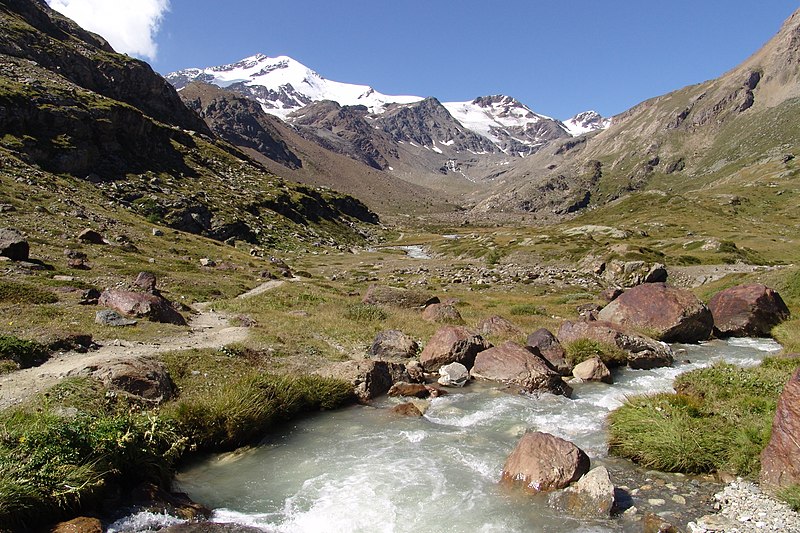
| Description | Weg zur Martellhütte | ||
| Date | Taken on 22 August 2010 | ||
| Source | https://web.archive.org/web/20161111094755/http://www.panoramio.com/photo/41303197 | ||
| Author | Sualkdd | ||
| Permission (Reusing this file) |
This file is licensed under the Creative Commons Attribution-Share Alike 3.0 Unported license. Attribution: Sualkdd
|
||
| Tags (from Panoramio photo page) | Martell, (03) Süd Tirol 2010_08 |
| Camera location | | View this and other nearby images on: OpenStreetMap |
|---|
| Annotations | This image is annotated: View the annotations at Commons |
File history
Click on a date/time to view the file as it appeared at that time.
| Date/Time | Thumbnail | Dimensions | User | Comment | |
|---|---|---|---|---|---|
| current | 09:25, 11 November 2016 | | 3,264 × 2,176 (3.37 MB) | Panoramio upload bot (talk | contribs) | {{Information |description=Weg zur Martellhütte |date={{Taken on|2010-08-22}} |source=http://www.panoramio.com/photo/41303197 |author=[http://www.panoramio.com/user/2335006?with_photo_id=41303197 Sualkdd] |permission={{cc-by-sa-3.0|Sualkdd}} {{Panoram... |
You cannot overwrite this file.
File usage on Commons
The following page uses this file: