File:Weimar Republic states and provinces.svg

Size of this PNG preview of this SVG file: 752 × 600 pixels. Other resolutions: 301 × 240 pixels | 602 × 480 pixels | 963 × 768 pixels | 1,280 × 1,021 pixels | 2,560 × 2,043 pixels | 940 × 750 pixels.
Original file (SVG file, nominally 940 × 750 pixels, file size: 581 KB)
Captions
Captions
Add a one-line explanation of what this file represents
Summary
edit
| Description |
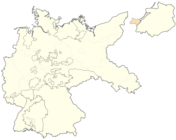
English: Blank map of the states and Prussian provinces of the Weimar Republic (1919-1933)
Deutsch: Stumme Karte der Staaten und preußischen Provinzen der Weimarer Republik (1919-1933) |
| Date | |
| Source | Own work, derivative of Weimar Republic blank map.svg |
| Author |
|
Licensing
edit
I, the copyright holder of this work, hereby publish it under the following license:
This file is licensed under the Creative Commons Attribution-Share Alike 4.0 International license.
- You are free:
- to share – to copy, distribute and transmit the work
- to remix – to adapt the work
- Under the following conditions:
- attribution – You must give appropriate credit, provide a link to the license, and indicate if changes were made. You may do so in any reasonable manner, but not in any way that suggests the licensor endorses you or your use.
- share alike – If you remix, transform, or build upon the material, you must distribute your contributions under the same or compatible license as the original.
File history
Click on a date/time to view the file as it appeared at that time.
| Date/Time | Thumbnail | Dimensions | User | Comment | |
|---|---|---|---|---|---|
| current | 11:50, 9 May 2017 | | 940 × 750 (581 KB) | Master Uegly (talk | contribs) | viewBox changed |
| 22:03, 5 May 2017 |  | 976 × 818 (581 KB) | Master Uegly (talk | contribs) | {{Information |Description ={{en|1=Blank map of the states and Prussian provinces of the Weimar Republic (1919-1933)}} {{de|1=Stumme Karte der Staaten und preußischen Provinzen der Weimarer Republik (1919-1933)}} |Source ={{own}}, derivativ... |
You cannot overwrite this file.
File usage on Commons
There are no pages that use this file.