File:Weisskohlfeld.jpg
Size of this preview: 800 × 533 pixels. Other resolutions: 320 × 213 pixels | 640 × 427 pixels | 1,024 × 683 pixels | 1,280 × 853 pixels | 2,560 × 1,707 pixels | 4,500 × 3,000 pixels.
Original file (4,500 × 3,000 pixels, file size: 6.36 MB, MIME type: image/jpeg)
Captions
Captions
Add a one-line explanation of what this file represents
Summary
edit
| Description |
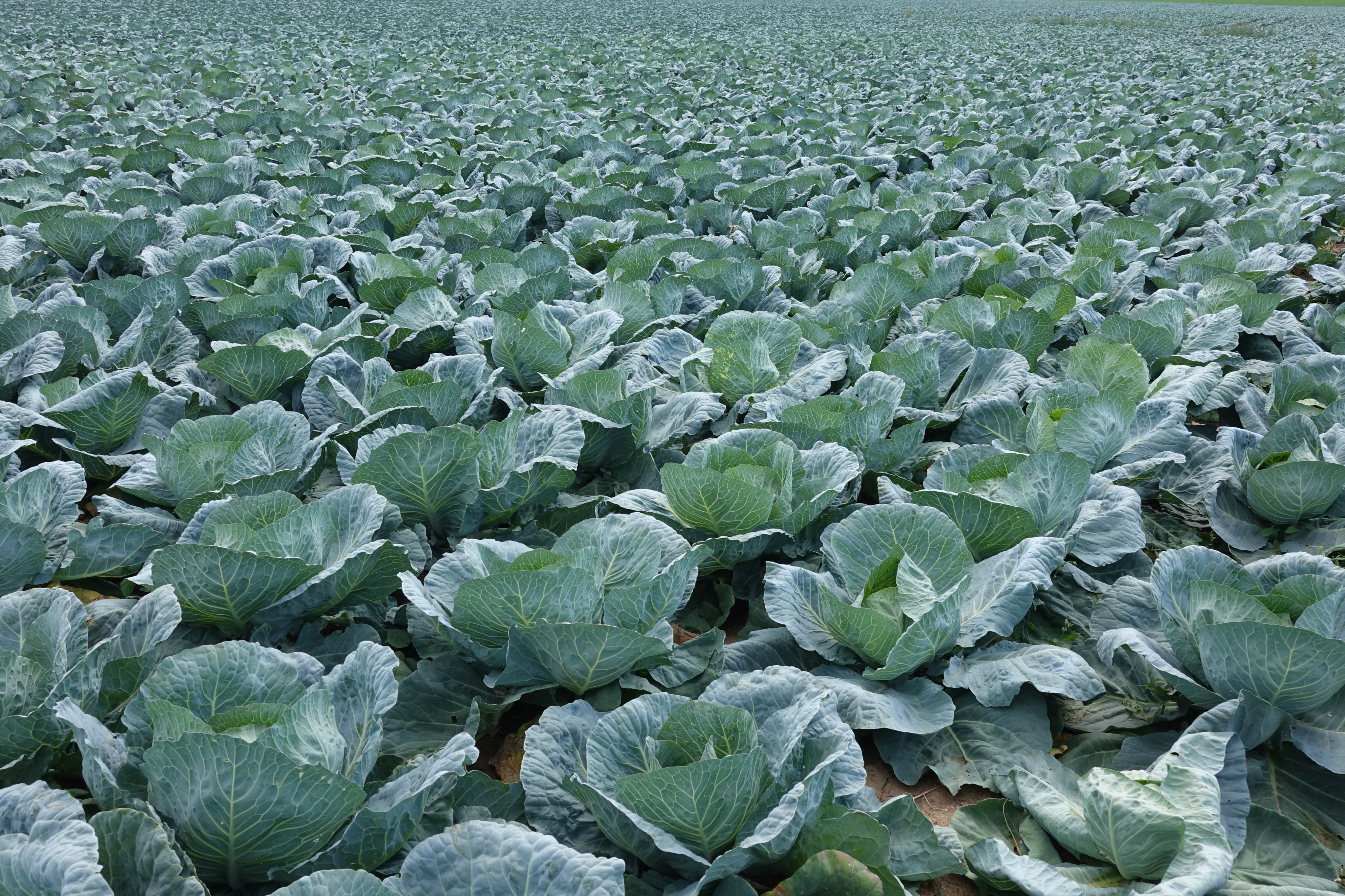
Deutsch: Weißkohlfeld bei Fritzlar-Lohne, Nordhessen
English: Cabbage field near Fritzlar-Lohne, North Hesse (Germany) |
| Date | |
| Source | Own work |
| Author | Hubert Berberich (HubiB) |
| Permission (Reusing this file) |
Author: Hubert Berberich |
| Camera location | | View this and other nearby images on: OpenStreetMap |
|---|
Licensing
edit
This file is licensed under the Creative Commons Attribution 3.0 Unported license.
- You are free:
- to share – to copy, distribute and transmit the work
- to remix – to adapt the work
- Under the following conditions:
- attribution – You must give appropriate credit, provide a link to the license, and indicate if changes were made. You may do so in any reasonable manner, but not in any way that suggests the licensor endorses you or your use.
File history
Click on a date/time to view the file as it appeared at that time.
| Date/Time | Thumbnail | Dimensions | User | Comment | |
|---|---|---|---|---|---|
| current | 08:11, 14 July 2017 | | 4,500 × 3,000 (6.36 MB) | HubiB (talk | contribs) | == {{int:filedesc}} == {{Information |Description = {{de|Weißkohlfeld bei Frizlar-Lohne, Nordhessen}} {{en|Cabbage field near Fritzlar-Lohne, North Hesse (Germany)}} |Source = {{Own}} |Date = 2017-07-06 |Author = Hubert Berberich (HubiB... |
You cannot overwrite this file.
File usage on Commons
There are no pages that use this file.
File usage on other wikis
The following other wikis use this file:
- Usage on de.wikipedia.org